Alberta
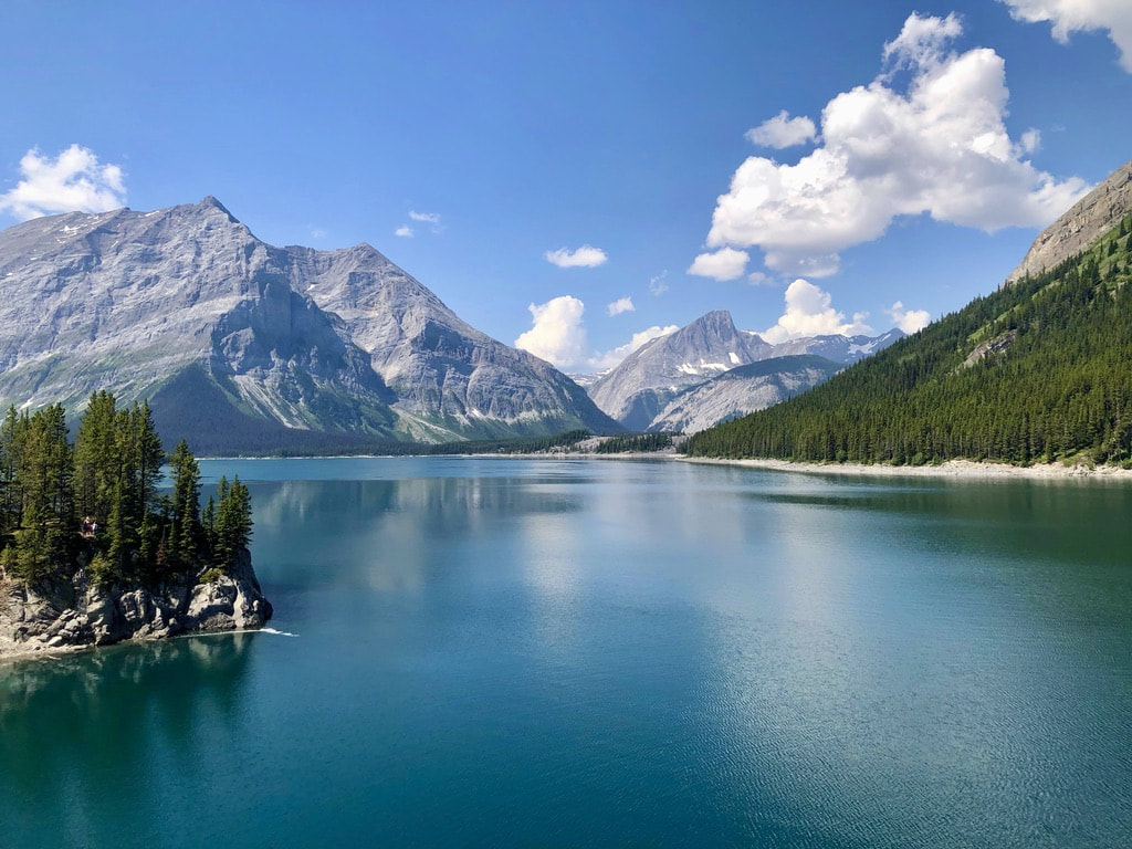
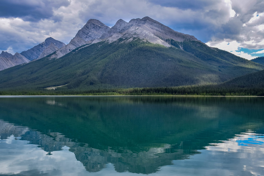
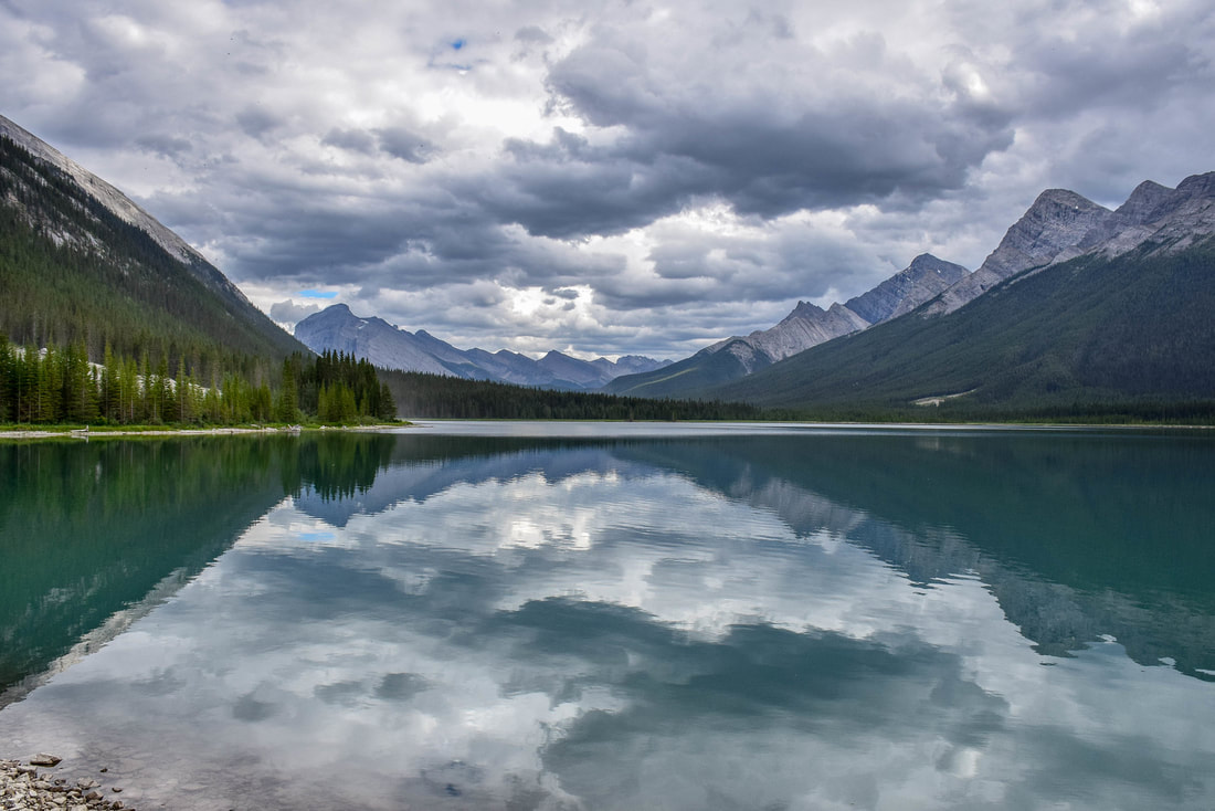
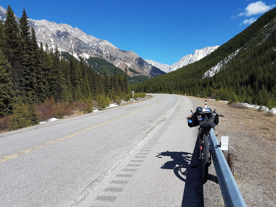
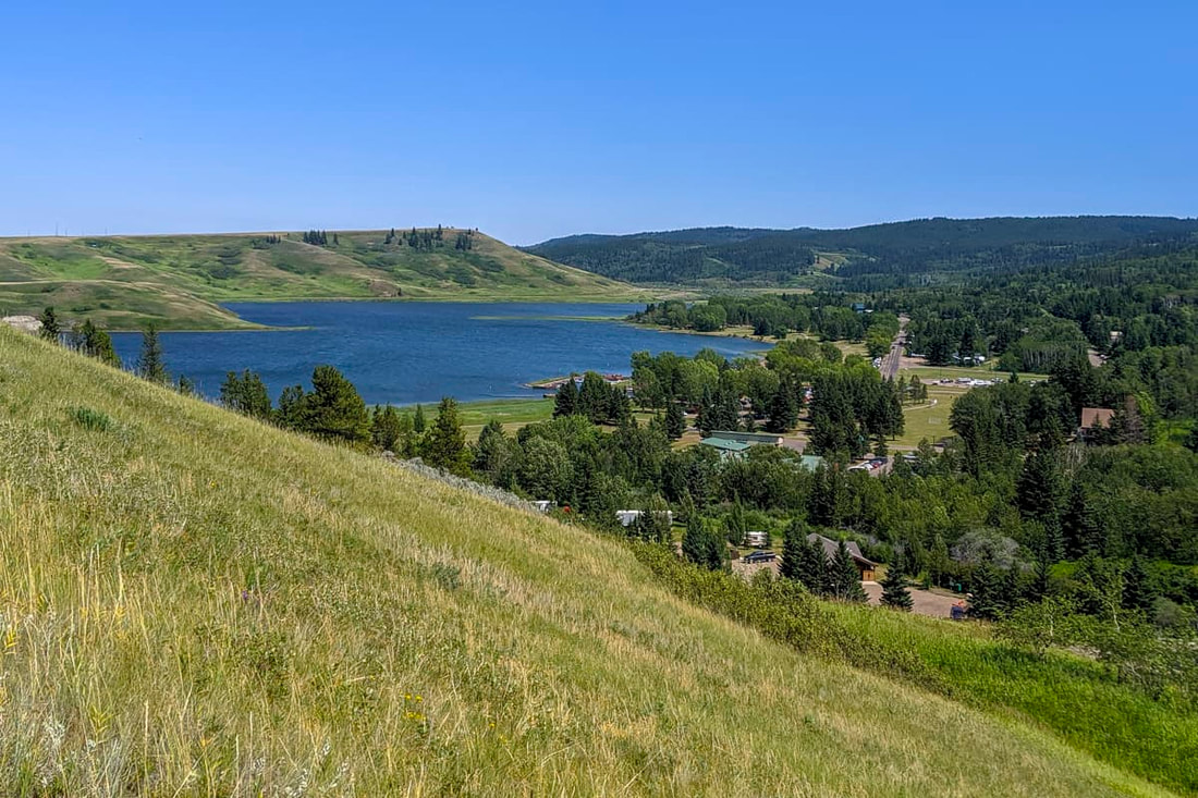
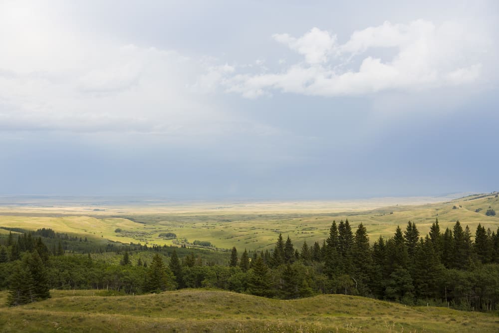
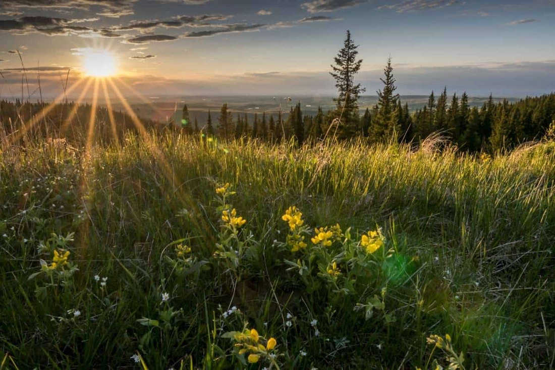
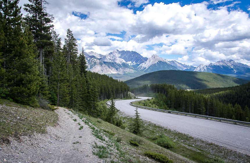
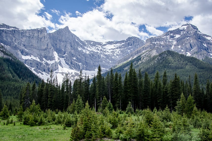
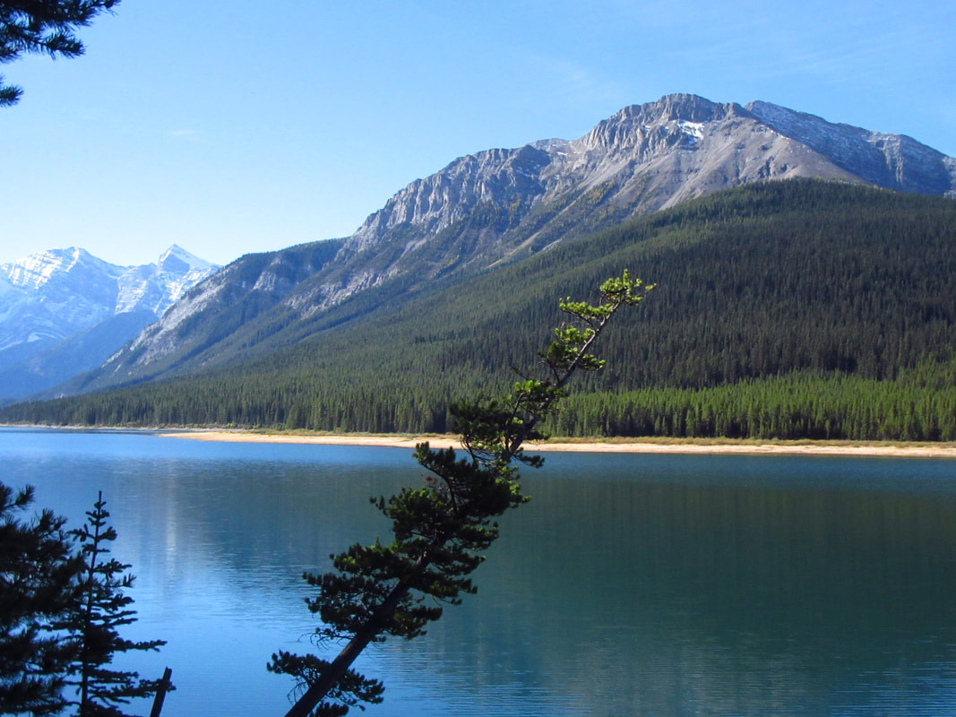
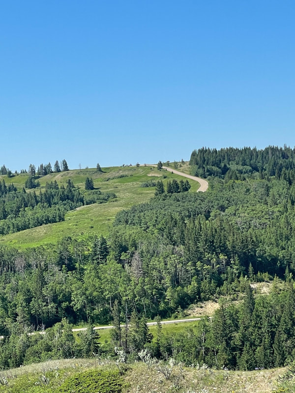
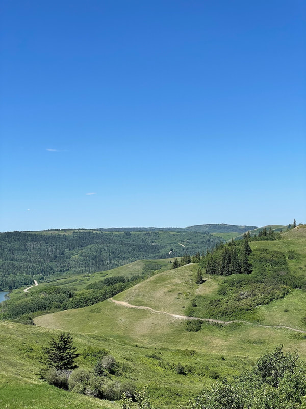
The journey through the province of Alberta offers bikepackers a bit of everything – rugged Rocky Mountain riding, the foothills transition zone, and the first taste of the Canadian prairies, and the surprise of the verdant island in the sky at the end. Although not as dramatic as the Canadian Rockies to the west, the southern Alberta praireland offers up its own rewards including hospital locals and big sky views. The vast stretch of land between British Columbia and Ontario comprises an area known as the Canadian Prairies, a 2,000 km valley of plains, forests, and farmland. Here, thousands of acres grow some of the most relied-upon crops in the world.
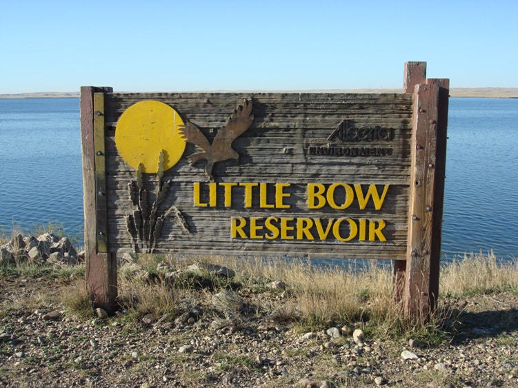
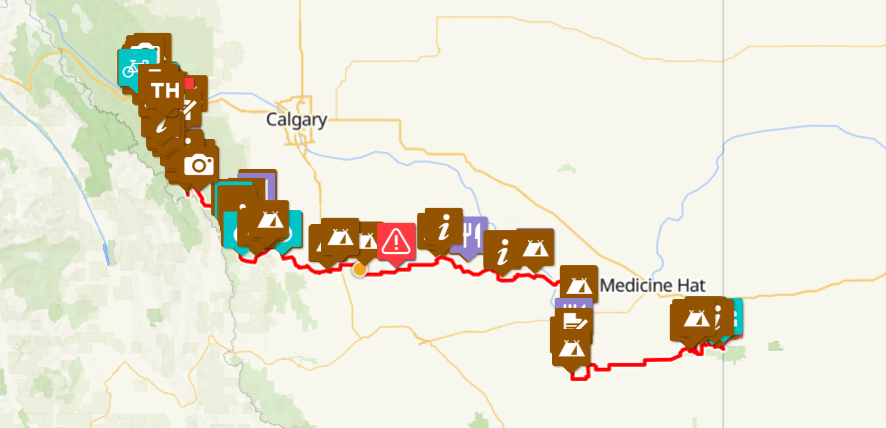
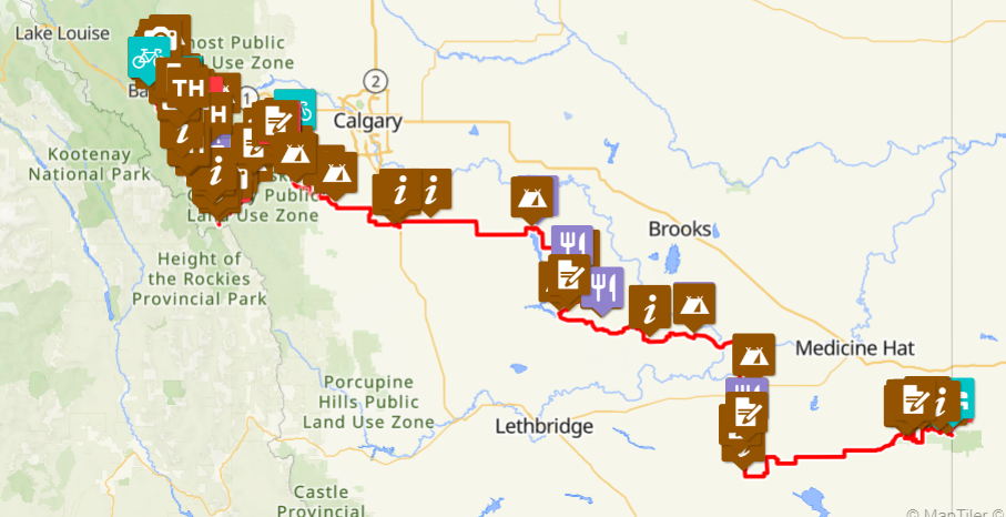
Note: There are two routing options for Alberta. Route 1 takes a more direct path out of the mountains into the foothills. Route 2 can be considered a more adventurous option that takes riders into the spectacular Elbow River Valley. Both routes meet up at Travers Reservoir.
Highlights Include:
Need to Know:
There is no perfect time to ride this route. Depending on snow pack, it might not be possible to start the Rockies section of the route until June. Spring (May) and fall (Sept, Oct) can bring more pleasant temperatures to the prairies.
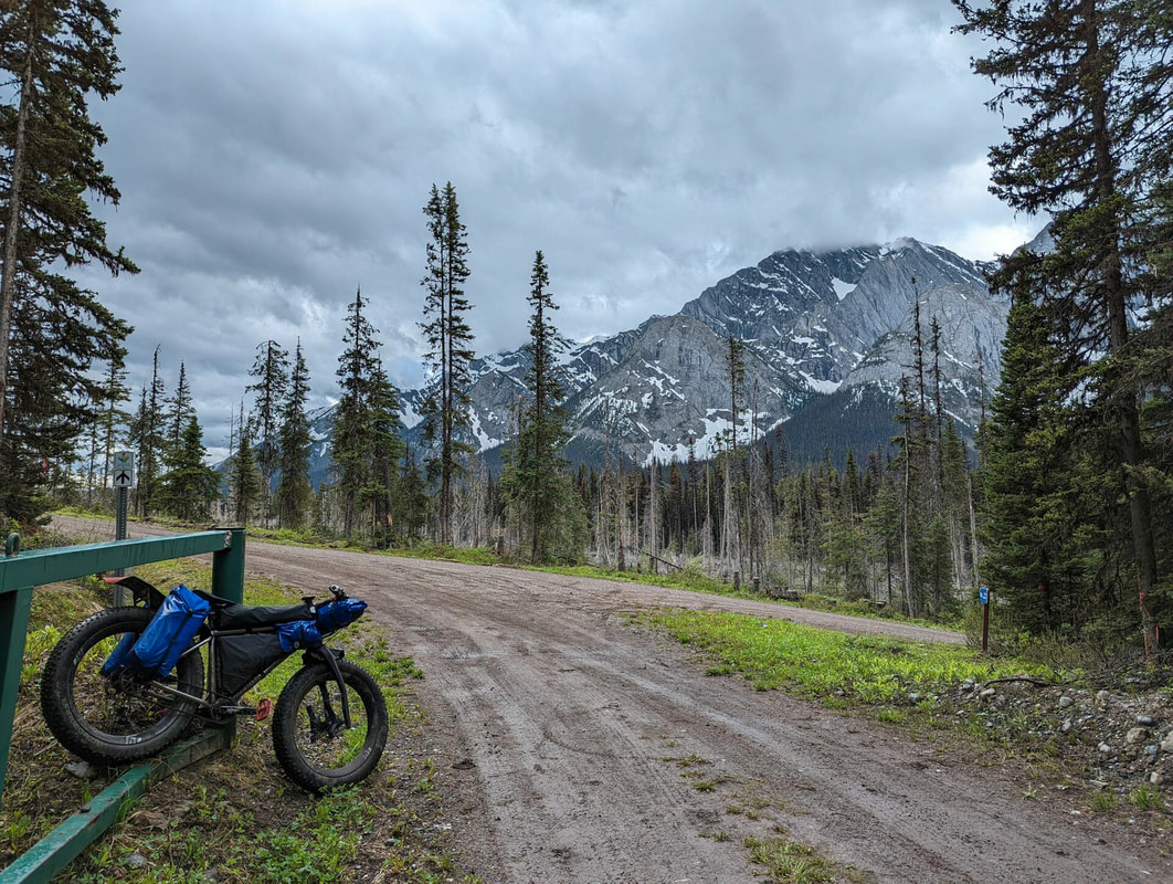
Some trail sections including on the High Rockies Trail can be more demanding with respect to grades and riding surfaces. A proper bike set-up will make these sections more manageable and enjoyable.
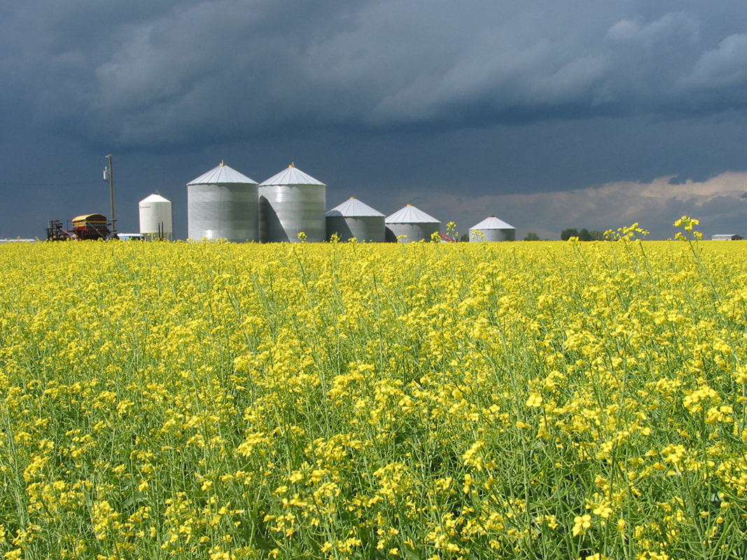
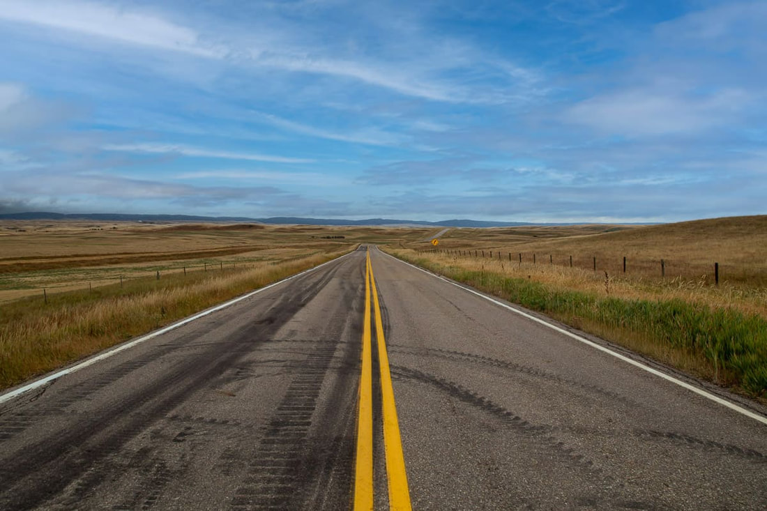
When riding in the flatlands there can be no shelter from the relentless winds, blazing sun, and heat. It’s not unheard of to see temperatures get into the high 30s or even low 40s in some areas during the high summer. Combine those environmental challenges with some soft gravel roads, especially if wet, and it can become a tough ride, both mentally and physically. As a rule of thumb, the canal roads are firmer than the farmland gravel roads. If riding during the hot summer months do not underestimate your fluid needs. Generally going north in the prairies is a cross wind and west is tailwind, but this is not always the case.
Agricultural range roads can be become impassible when wet and muddy. In these cases, it is likely to find a parallel paved road to ride.
Certain sections of the route are very sparsely populated where cell signal available is spotty at best.
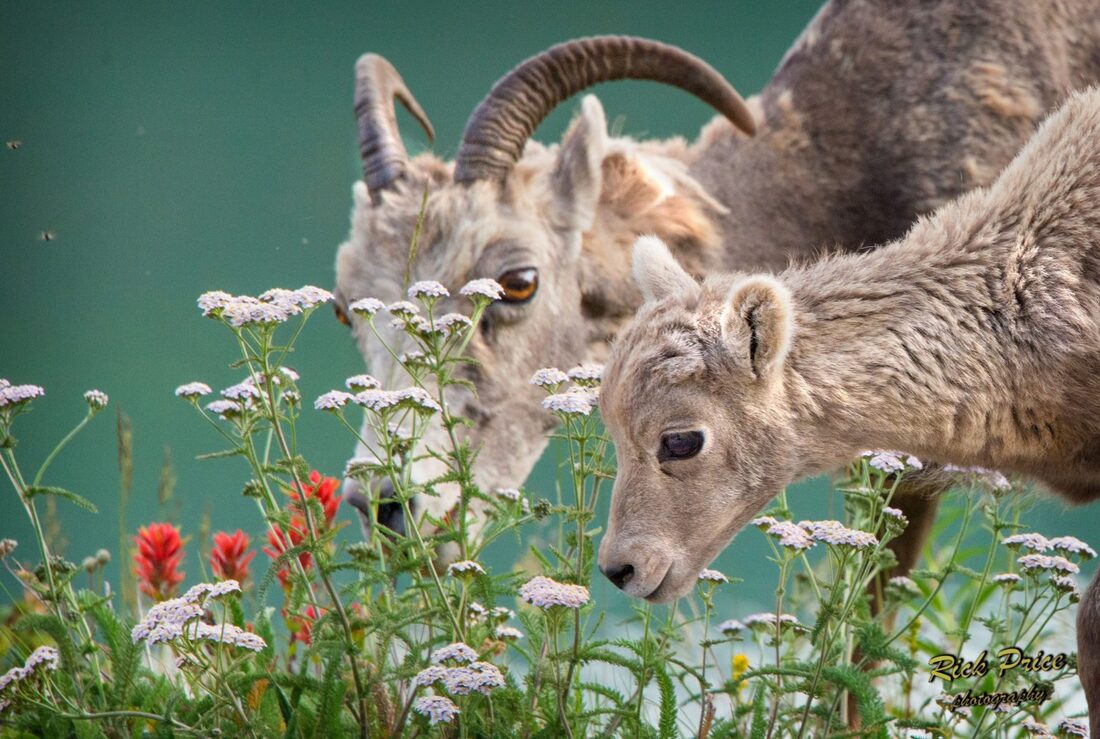
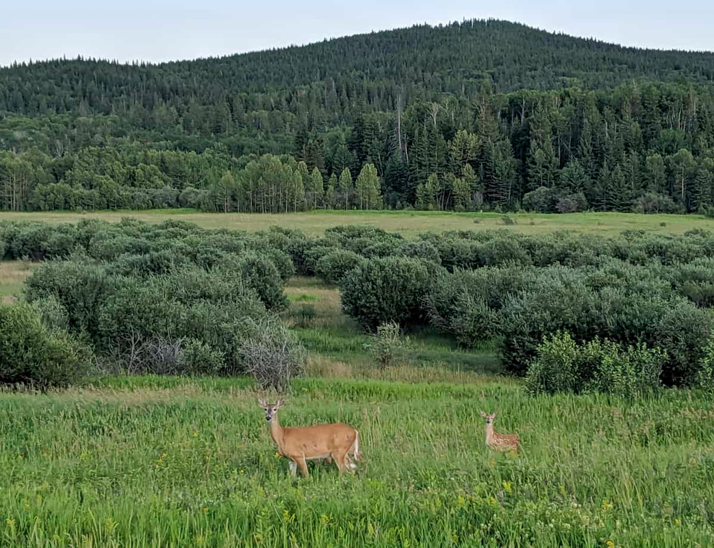
The mountains are bear country with some grizzles moving around. So take the necessary precautions such as bringing bear spray and practicing safe camping which means no food in your tent or ideally on your bike overnight. Proper food storage is a must.
A few prairie sections of the route, particularly Cypress Hills, have rattlesnakes and scorpions.
The Kananaskis region of Alberta, before and after Canmore, is an area where “wild” camping is not permitted.
The summer tourist season can be particularly busy in the Rockies section of the route. This can make it a bit more challenging to secure accommodation.
Bring bug spray. Depending on where you go, they can be thick.
The route file contains several Control points of interest symbols that offer up alternative routes to what is plotted.
If you have any questions about the Alberta segment of the GNBR please feel free to use the contact page.
Note: There are two routing options for Alberta. Route 1 takes a more direct path out of the mountains into the foothills. Route 2 can be considered a more adventurous option that takes riders into the spectacular Elbow River Valley. Both routes meet up at Travers Reservoir.
Highlights Include:
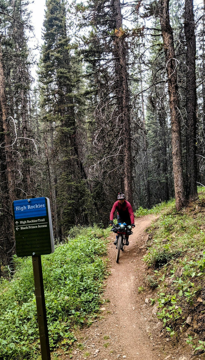
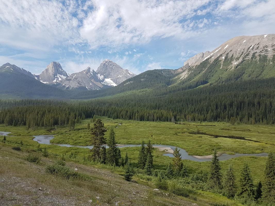
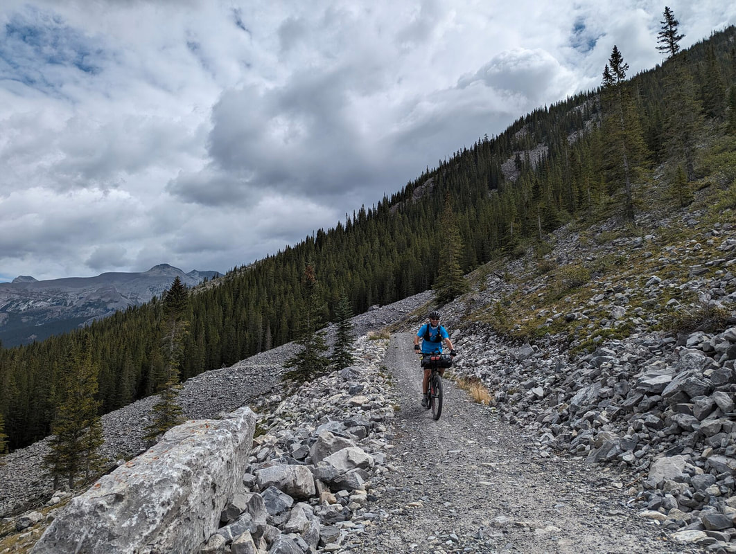
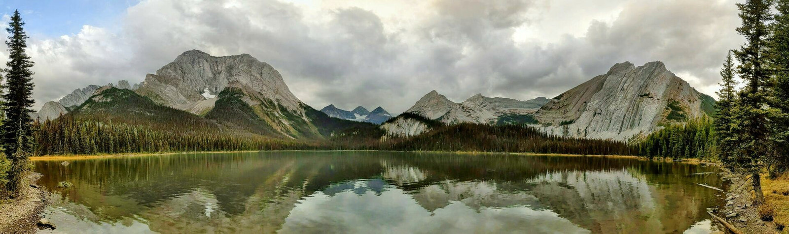
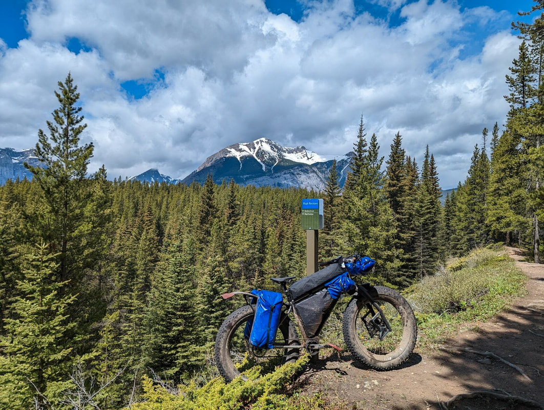
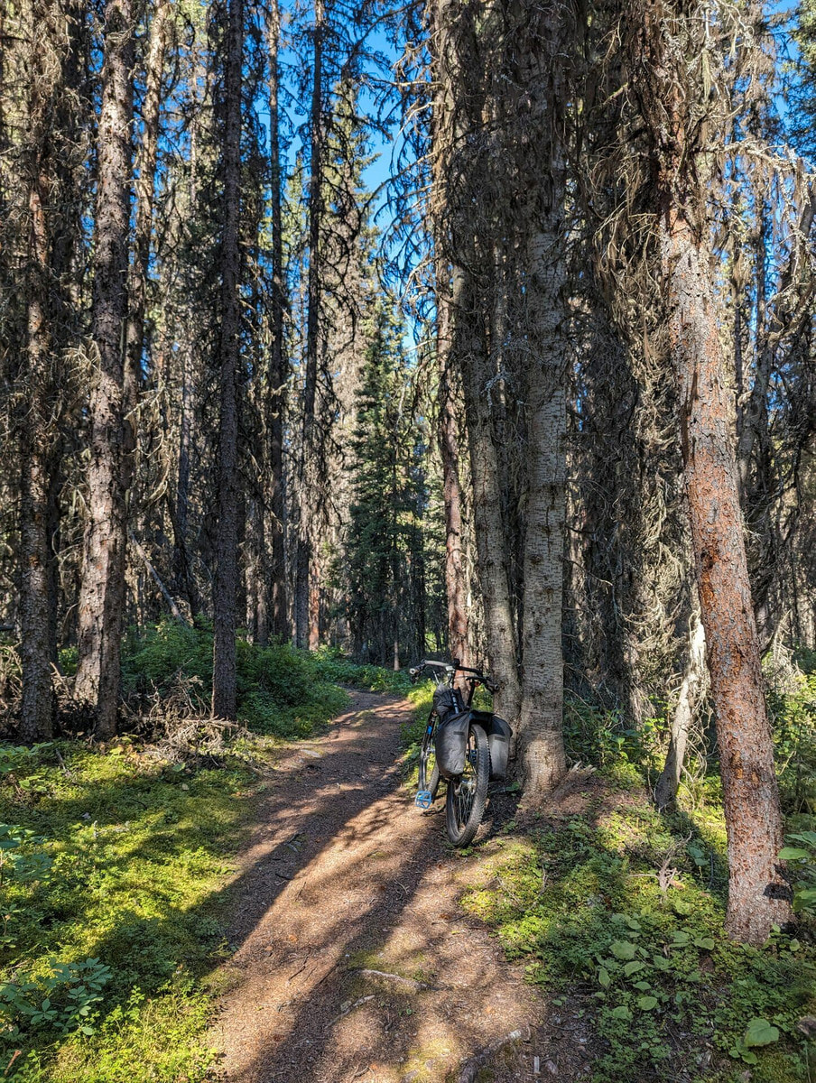
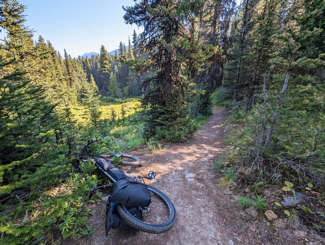
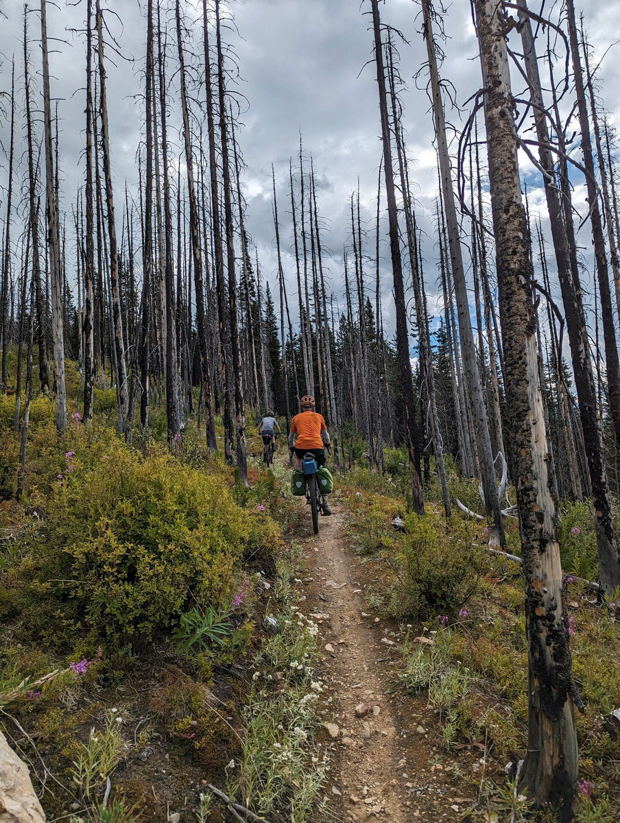
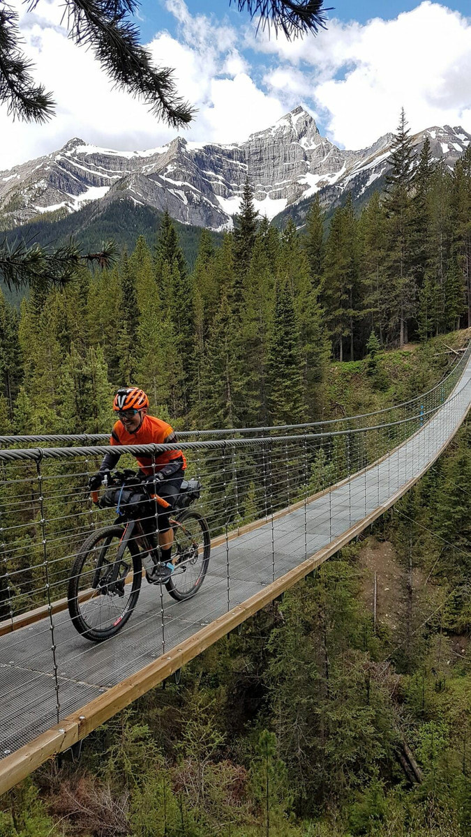
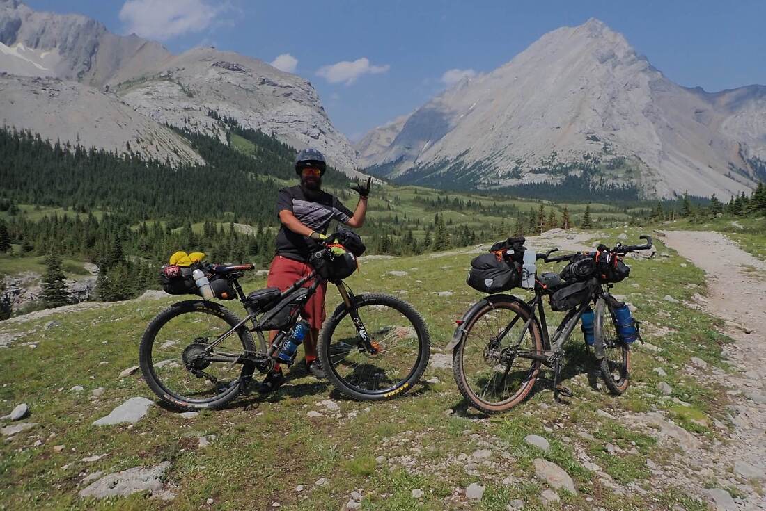
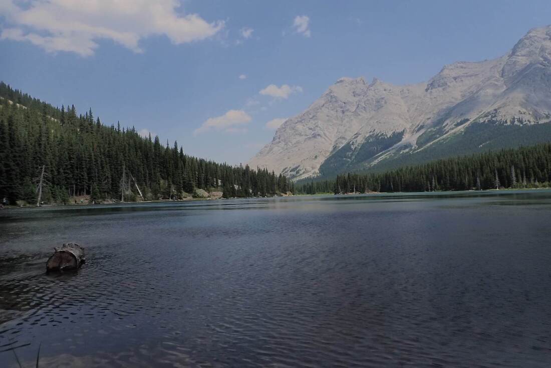
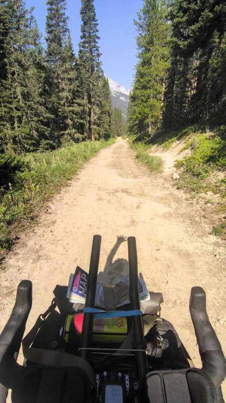
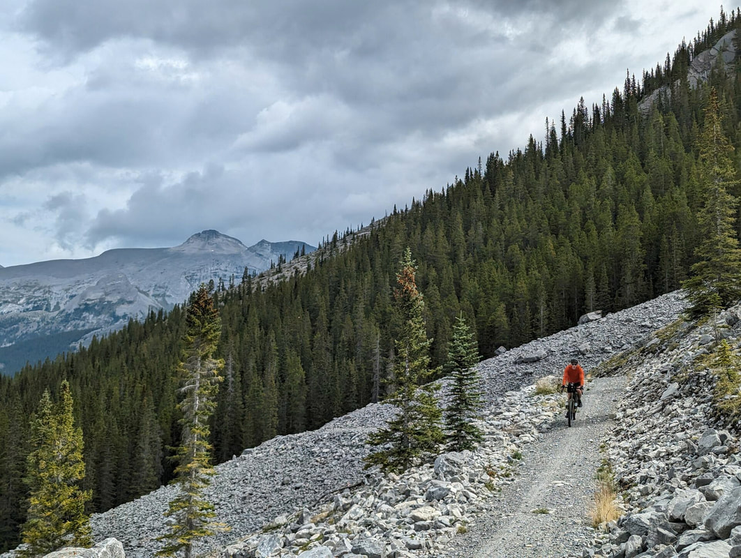
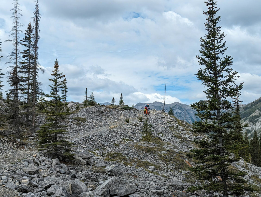
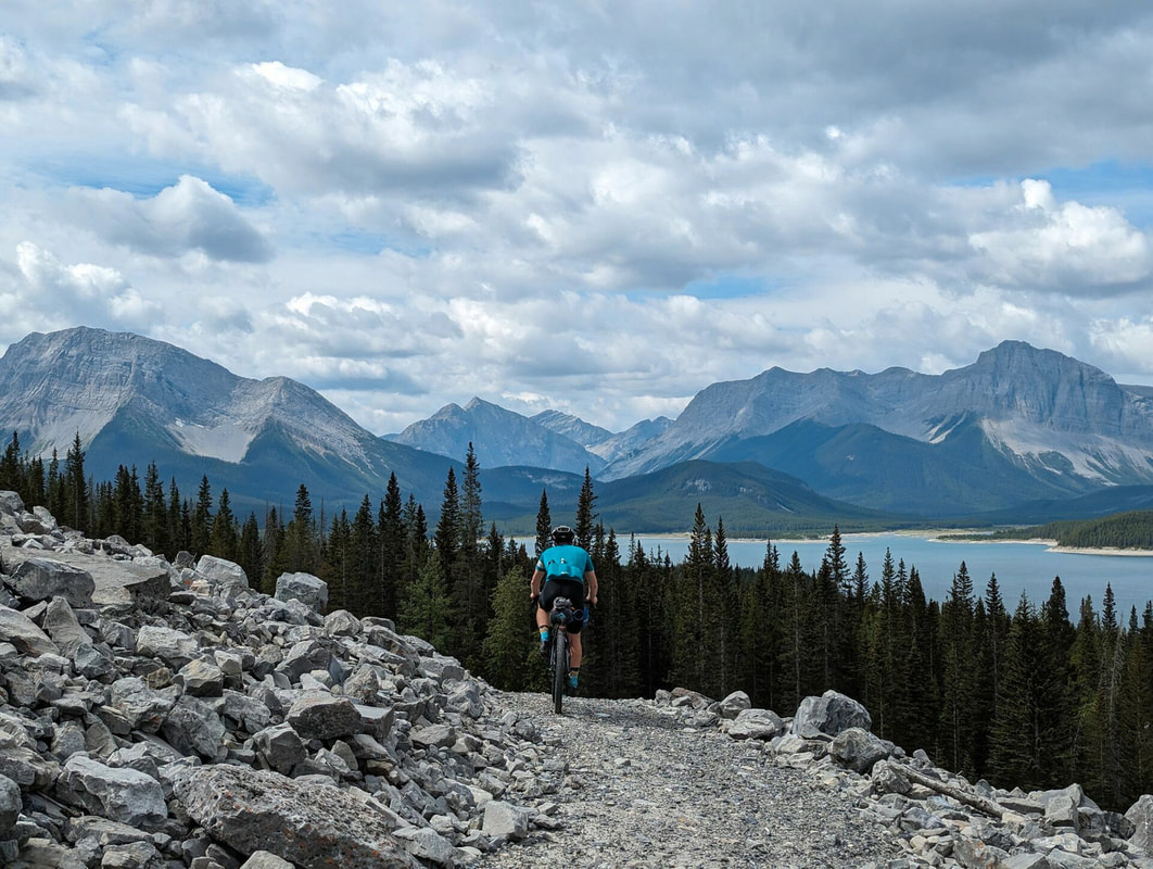
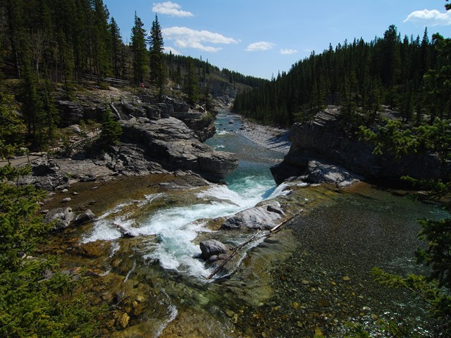
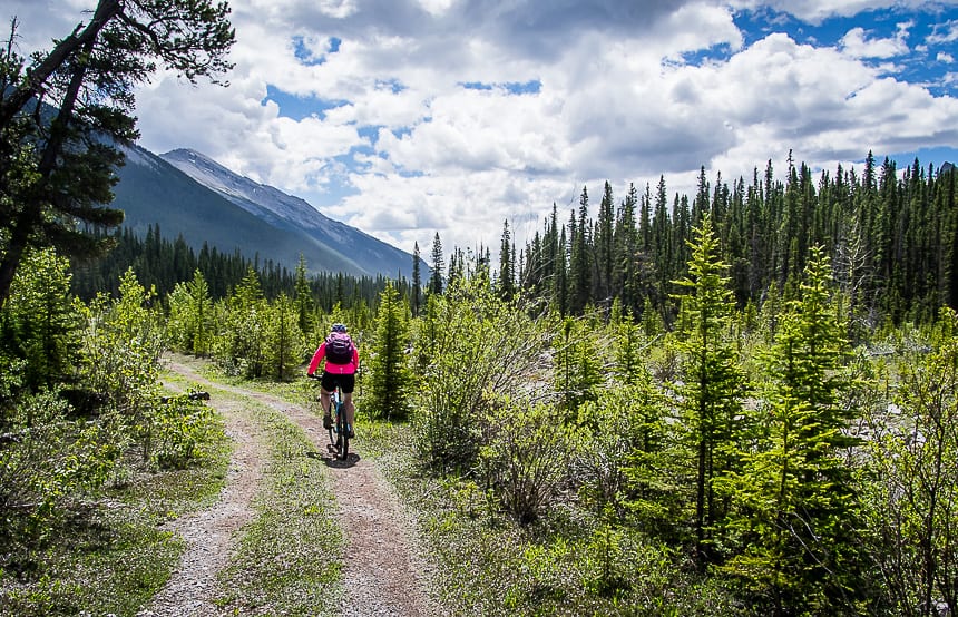
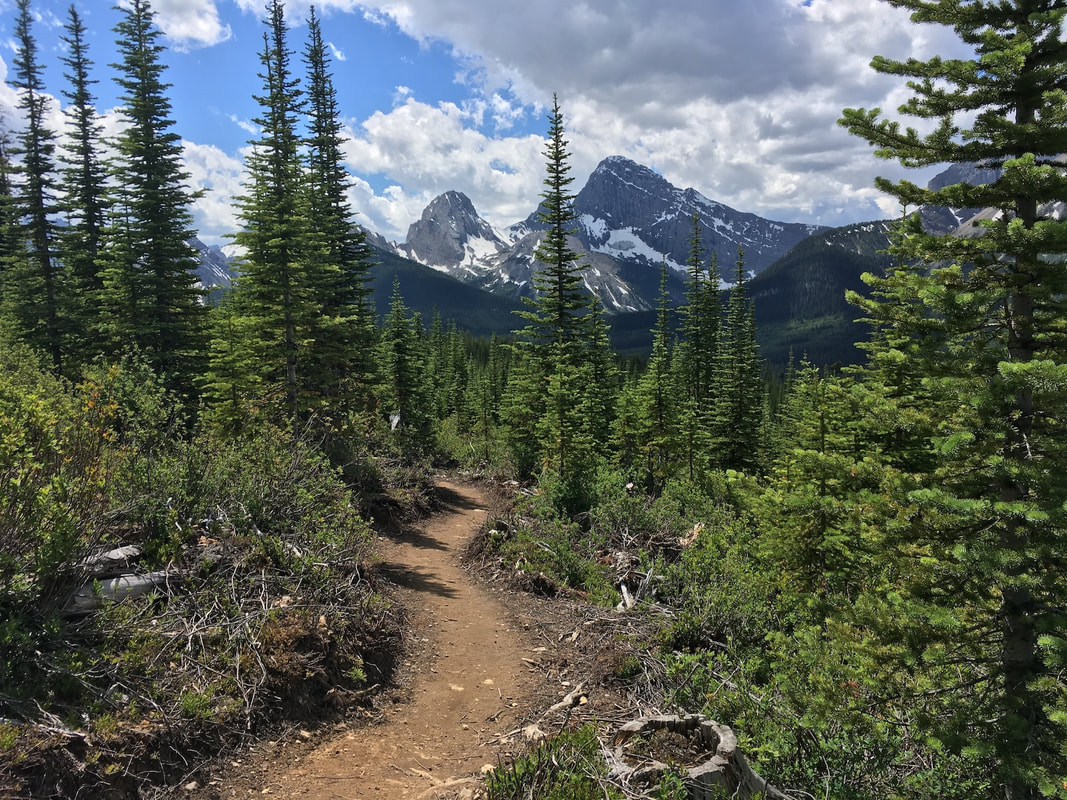
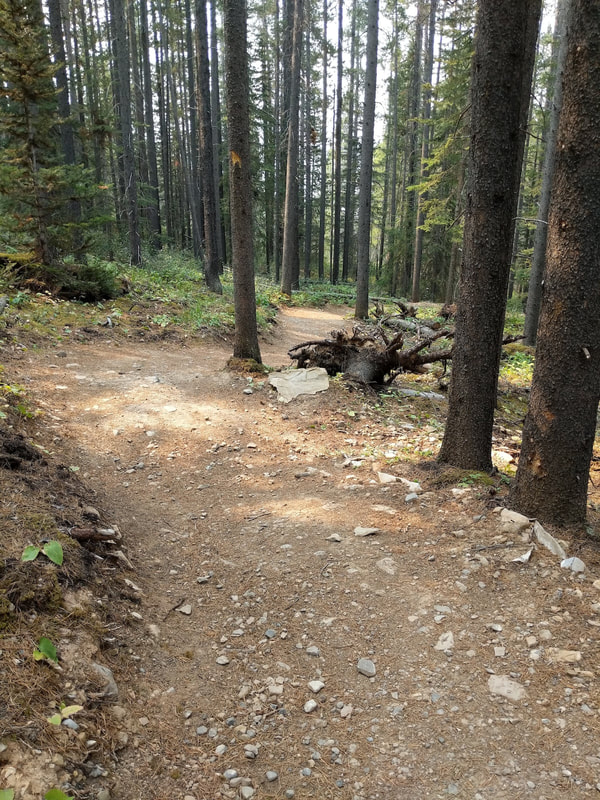
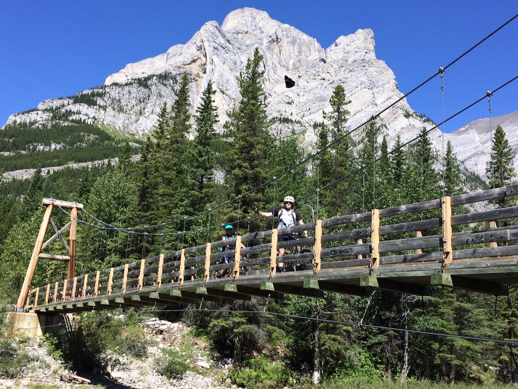
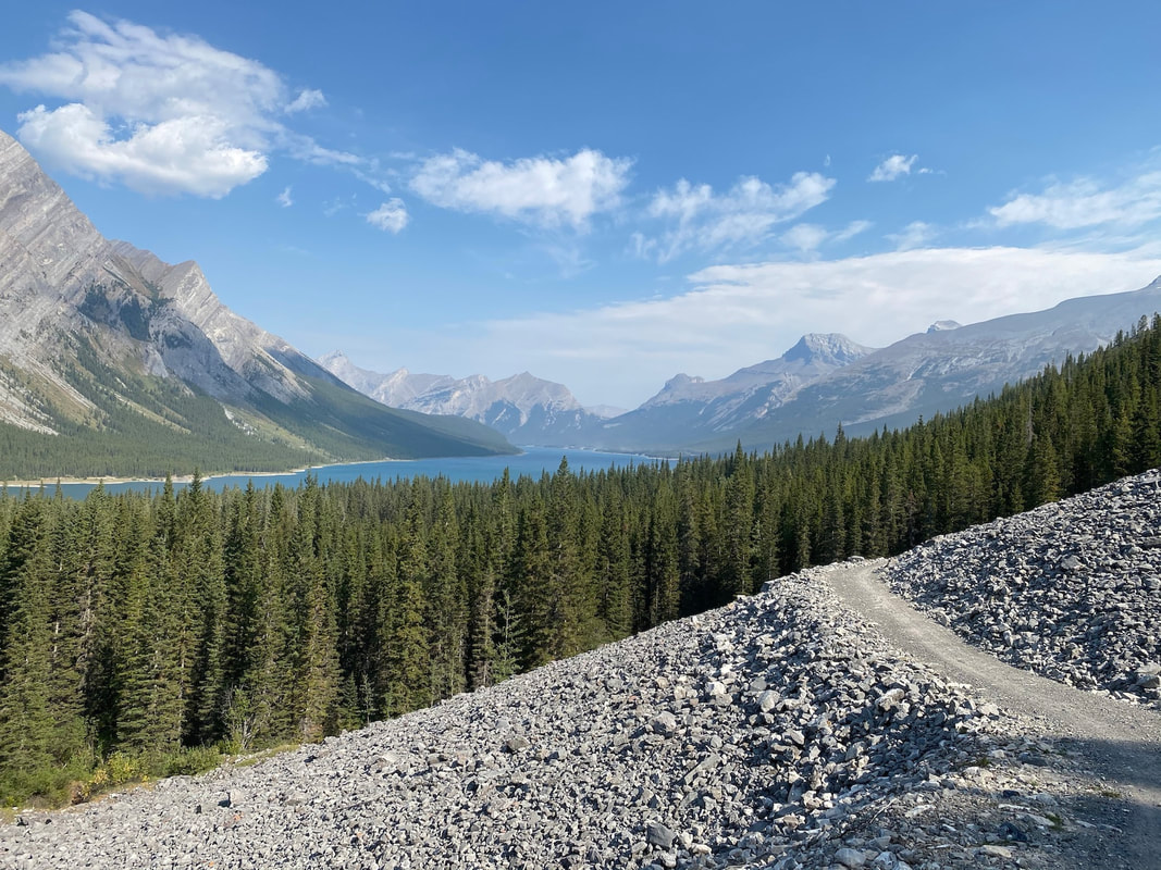
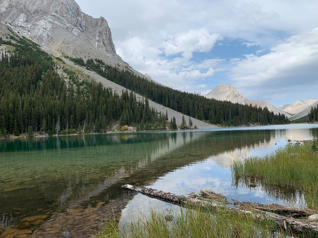
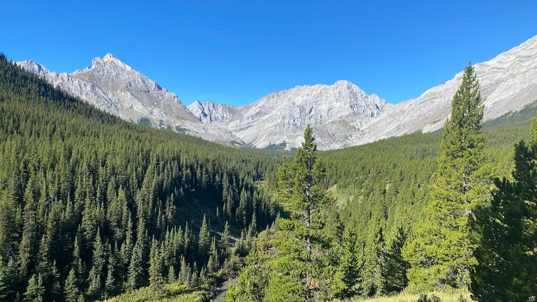
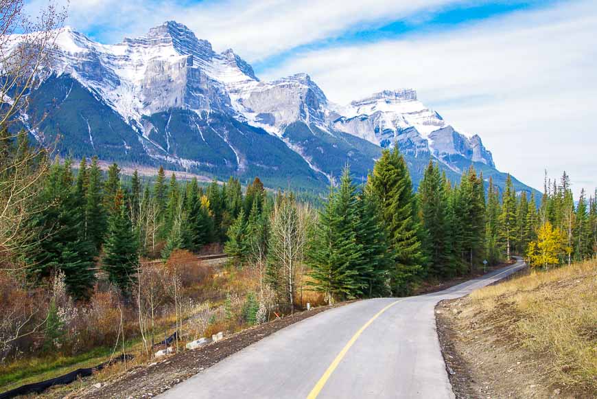
- A journey on the High Rockies Trail, an 80km mountain singletrack trip through Kananaskis Country. The trail travels through three provincial parks with no shortage of blockbuster views of the diverse landscape.
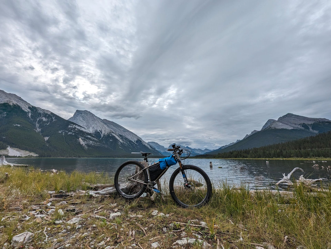
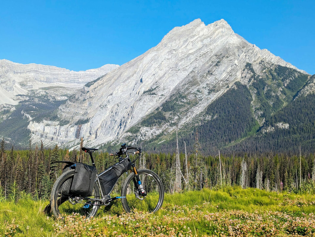
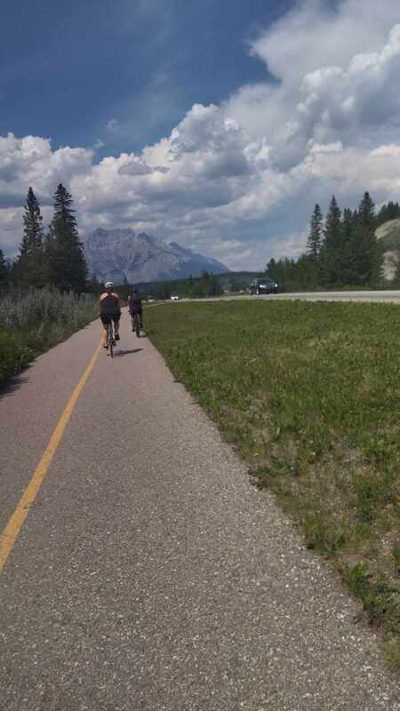
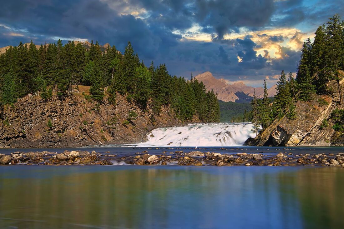
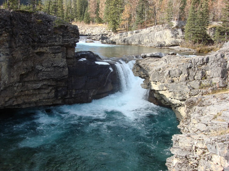
- A visit to Banff National Park – Canada’s first established national park.
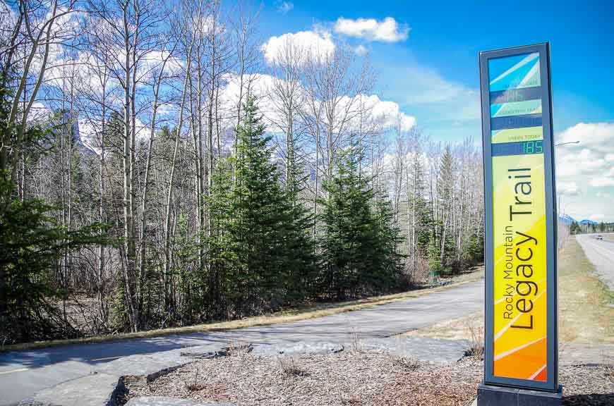
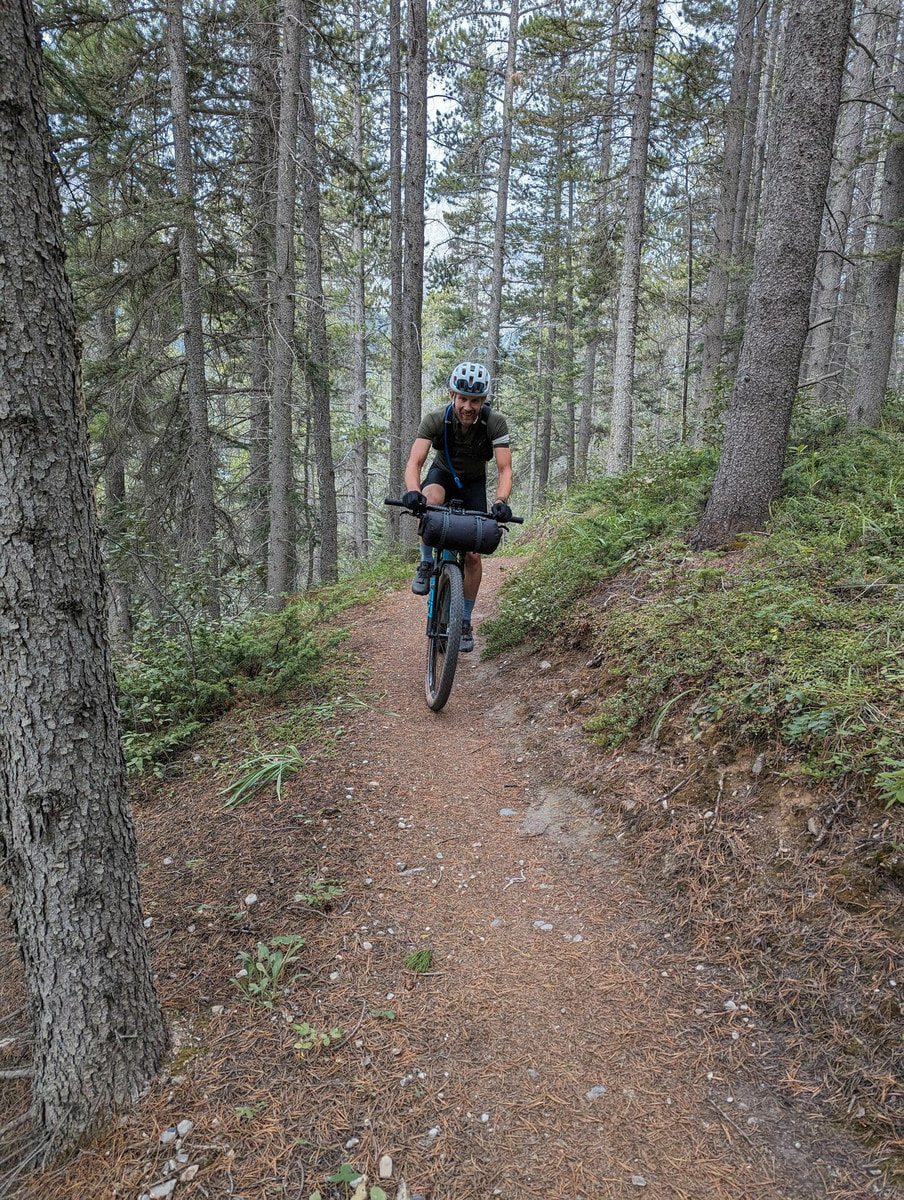
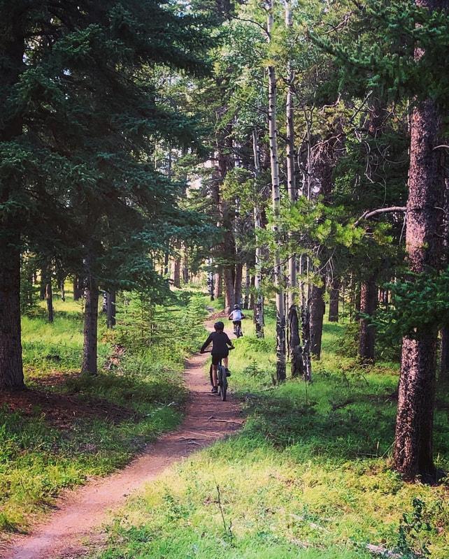
- A sampling of the vast trail network in the mountain town Canmore.
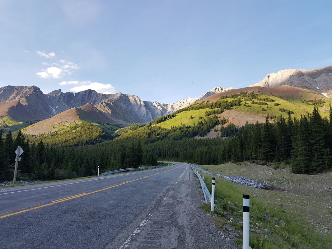
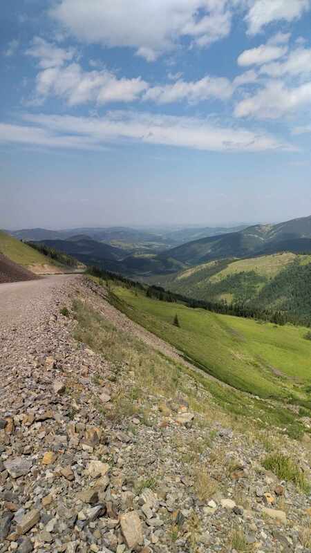
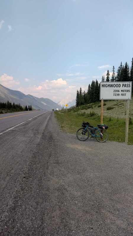
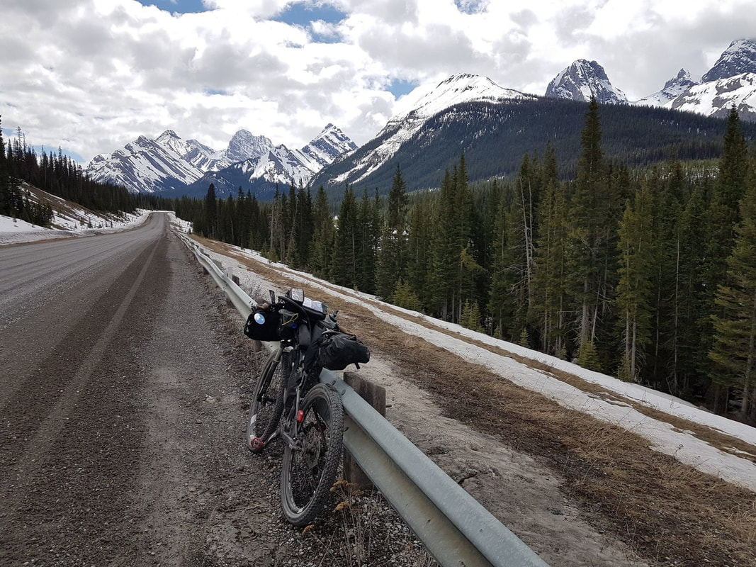
- Riding on the highest paved road in Canada (Alberta 1 route)
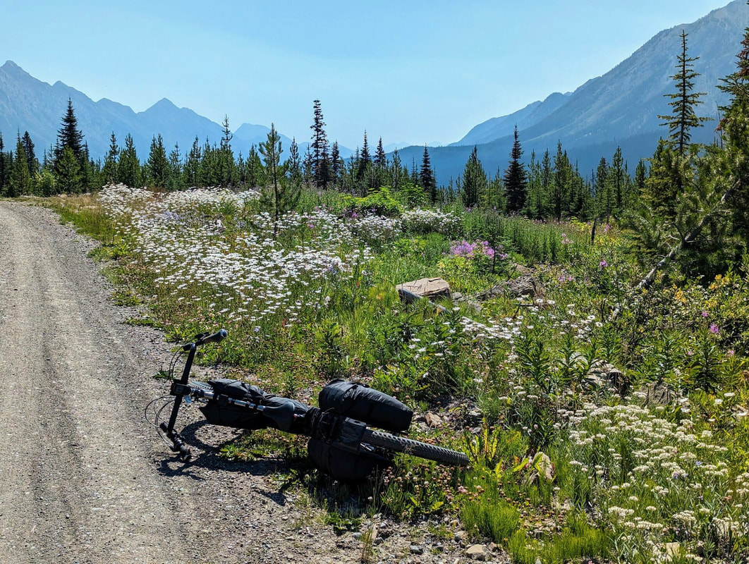
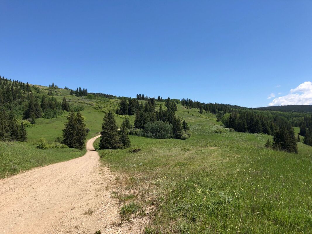
- Way too many picture stops along the trail through the Elbow River valley (Alberta 2 route)
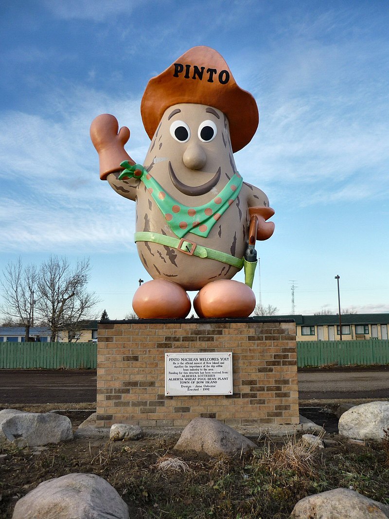
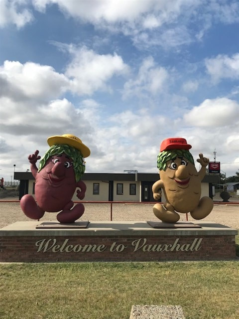
- A sampling of Blackie, Stavely, Milo and other hamlets of the Alberta flatlands
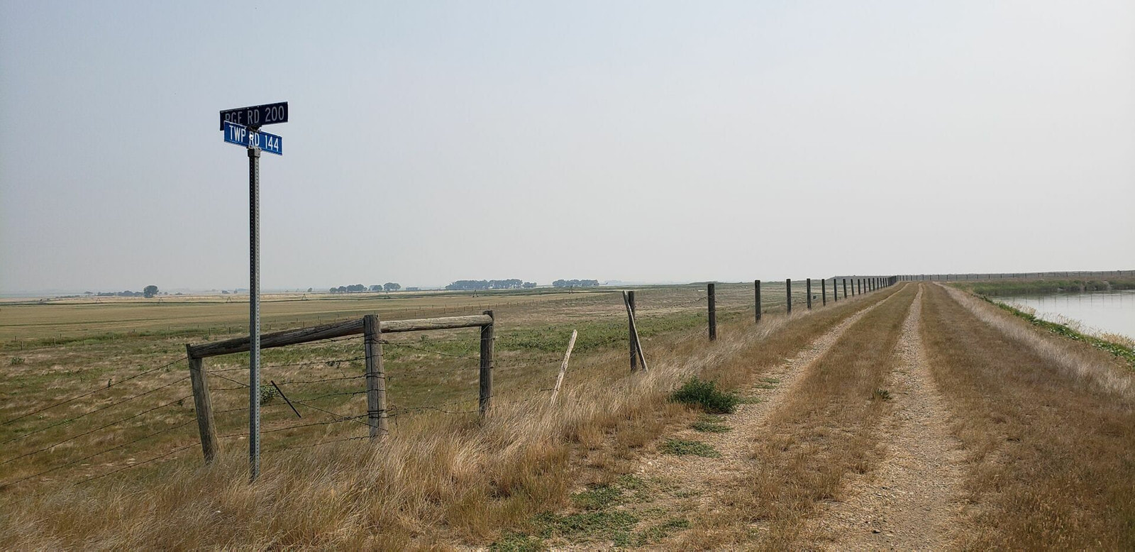
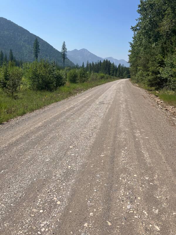
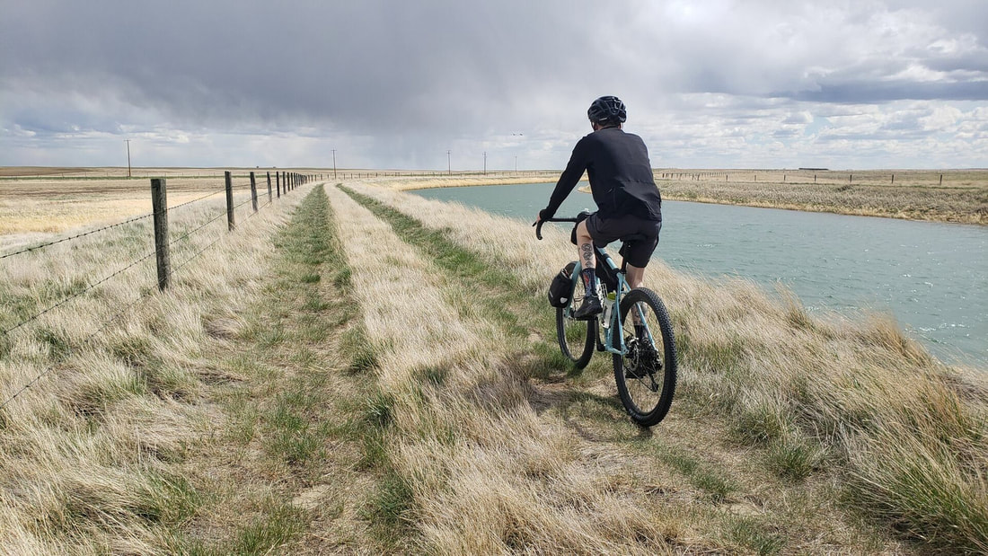
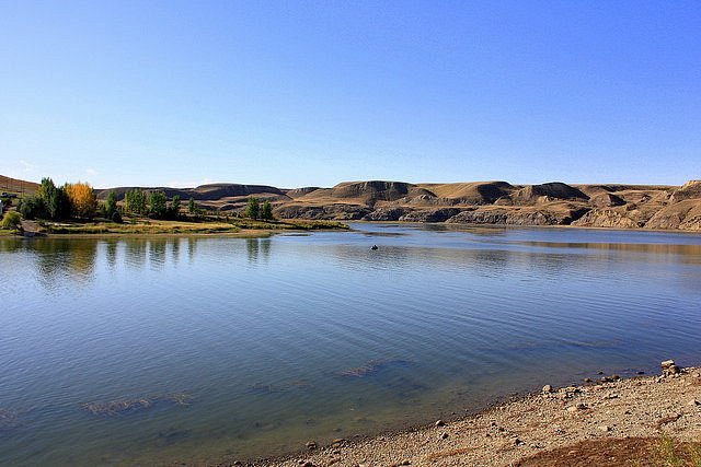
- Long stretches dirt riding along the irrigation canal roads - peaceful, car-free, and with wide open prairie views. These paths follow the "lay of the land" instead of requiring more cycling on what can be monotonous grid flatland roads.
- A sampling of the vast trail system in Cypress Hills Provincial Park. This is the first interprovincial park in Canada. The Cypress Hills Interprovincial Park, “Island in the sky”, offers towering hills, lush forest and fescue prairie provide breathtaking views. It is also one of the largest Dark Sky Preserves in the world. Consider it an oasis in the middle of the huge, dry prairie land.
Need to Know:
There is no perfect time to ride this route. Depending on snow pack, it might not be possible to start the Rockies section of the route until June. Spring (May) and fall (Sept, Oct) can bring more pleasant temperatures to the prairies.
Some trail sections including on the High Rockies Trail can be more demanding with respect to grades and riding surfaces. A proper bike set-up will make these sections more manageable and enjoyable.
When riding in the flatlands there can be no shelter from the relentless winds, blazing sun, and heat. It’s not unheard of to see temperatures get into the high 30s or even low 40s in some areas during the high summer. Combine those environmental challenges with some soft gravel roads, especially if wet, and it can become a tough ride, both mentally and physically. As a rule of thumb, the canal roads are firmer than the farmland gravel roads. If riding during the hot summer months do not underestimate your fluid needs. Generally going north in the prairies is a cross wind and west is tailwind, but this is not always the case.
Agricultural range roads can be become impassible when wet and muddy. In these cases, it is likely to find a parallel paved road to ride.
Certain sections of the route are very sparsely populated where cell signal available is spotty at best.
The mountains are bear country with some grizzles moving around. So take the necessary precautions such as bringing bear spray and practicing safe camping which means no food in your tent or ideally on your bike overnight. Proper food storage is a must.
A few prairie sections of the route, particularly Cypress Hills, have rattlesnakes and scorpions.
The Kananaskis region of Alberta, before and after Canmore, is an area where “wild” camping is not permitted.
The summer tourist season can be particularly busy in the Rockies section of the route. This can make it a bit more challenging to secure accommodation.
Bring bug spray. Depending on where you go, they can be thick.
The route file contains several Control points of interest symbols that offer up alternative routes to what is plotted.
If you have any questions about the Alberta segment of the GNBR please feel free to use the contact page.