British Columbia
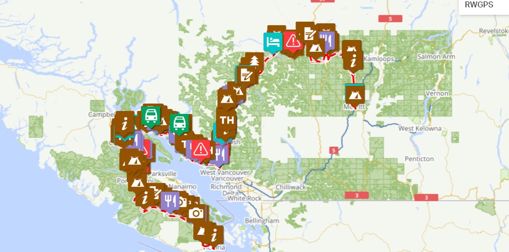
British Columbia Route File #1: https://ridewithgps.com/routes/42155021
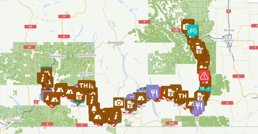
British Columbia Route File #2: https://ridewithgps.com/routes/41816444
Note: the British Columbia route has been broken down into two separate route files to keep the file size smaller and allow for better navigation.
The GNBR starts off with a bang with an adventurous route through British Columbia. From the old growth of Vancouver Island to the high Rockies, come prepared for testy adventure on two wheels. Perhaps no section of the GNBR offers the pure definition of bikepacking as does British Columbia. Expect nearly every riding terrain imaginable: big mountain gravel roads, rugged forest paths, high-flying singletrack, rail trail and just the right amount of smooth pavement. What this route is not is a standard gravel grind or cruise on smooth rail trail.
Highlights include:
Need to Know
This is a rugged route and therefore requires the proper mindset for this type of ride and also the appropriate bike set-up. Fatter tires and generous gearing are what you want. Certainly, a touring mountain bike is appropriate here, but so too is an adventure drop-bar gravel bike.
Come prepared for plenty of climbing. No segment of the GNBR has more elevation gain, and, in turn, elevation loss, than British Columbia.
For nearly the entirety of the route you are riding in bear country. So take the necessary precautions such as bringing bear spray and practicing safe camping which means no food in your tent and ideally on your bike overnight. Pro tip: if camping in a park with no dedicated metal lockers for your food you can stash your food overnight in the back of the metal brown (garbage) or blue (recycling) units. They lift up from the back. Just make sure you gather up your belongings before park officials come to collect the garbage/recycling in the morning. As bikes can sneak up on animals, making sporadic loud, human noises and/or ringing a loud bell can alarm animals of your approaching presence and ward off any unwanted, surprise encounters.
Forest fires, which are increasingly common in the summer months, can make some sections unsafe to ride and have a significant detriment on air quality which may impact your ability to ride certain areas. Not to mention ruin your landscape photography. You can find about the current wildfire status of various areas on the route here: https://www2.gov.bc.ca/gov/content/safety/wildfire-status
The route file contains with several Control Points of Interest symbols that offer up alternative routes to what is plotted. Some of these offer an easier option, while others provide riders with a more adventurous option. Riders are responsible for reviewing these routing options and making the choice that best suites their needs and riding ability. The largest route alternative option is this routing between Beaverdell and Nelson: https://ridewithgps.com/routes/43538690
There are several areas on the route where cell service is lacking. It’s advisable that riders carry some sort of emergency satellite tracking device.
Consider a water filter as an essential piece of gear. For the most part, this route has plenty of opportunities to filter water from streams and lakes.
The route is more saturated in singletrack trails at the beginning and towards the end.
For a shorter bikepacking adventure in the province, it is possible to ride a couple of GNBR micro-routes.
If you have any questions about the BC segment of the GNBR please feel free to use the contact page.
The GNBR starts off with a bang with an adventurous route through British Columbia. From the old growth of Vancouver Island to the high Rockies, come prepared for testy adventure on two wheels. Perhaps no section of the GNBR offers the pure definition of bikepacking as does British Columbia. Expect nearly every riding terrain imaginable: big mountain gravel roads, rugged forest paths, high-flying singletrack, rail trail and just the right amount of smooth pavement. What this route is not is a standard gravel grind or cruise on smooth rail trail.
Highlights include:
- Trails through some of the remaining strands of old growth forest on Vancouver Island
- Exhilarating forestry roads and singletrack on the sunshine coast
- The flowy singletrack, sometimes chunky doubletrack, gravel roads, and pavement that make up the Sea to Sky Trail between Squamish and Pemberton
- The rugged landscape surrounding Lillooet and other interior communities
- The world famous trestle bridges of the Kettle Valley Trail
- The 80 kilometer High Rockies Trail into Alberta
- Numerous opportunities for wildlife sightings including bear, elk, moose and wide range of bird species.
- All the views of towering mountains, rushing glacial rivers and tranquil lakes you can handle.
- Grey Creek Pass and Mission Pass offer superb views and a chance to test your climbing prowess.
Need to Know
This is a rugged route and therefore requires the proper mindset for this type of ride and also the appropriate bike set-up. Fatter tires and generous gearing are what you want. Certainly, a touring mountain bike is appropriate here, but so too is an adventure drop-bar gravel bike.
Come prepared for plenty of climbing. No segment of the GNBR has more elevation gain, and, in turn, elevation loss, than British Columbia.
For nearly the entirety of the route you are riding in bear country. So take the necessary precautions such as bringing bear spray and practicing safe camping which means no food in your tent and ideally on your bike overnight. Pro tip: if camping in a park with no dedicated metal lockers for your food you can stash your food overnight in the back of the metal brown (garbage) or blue (recycling) units. They lift up from the back. Just make sure you gather up your belongings before park officials come to collect the garbage/recycling in the morning. As bikes can sneak up on animals, making sporadic loud, human noises and/or ringing a loud bell can alarm animals of your approaching presence and ward off any unwanted, surprise encounters.
Forest fires, which are increasingly common in the summer months, can make some sections unsafe to ride and have a significant detriment on air quality which may impact your ability to ride certain areas. Not to mention ruin your landscape photography. You can find about the current wildfire status of various areas on the route here: https://www2.gov.bc.ca/gov/content/safety/wildfire-status
The route file contains with several Control Points of Interest symbols that offer up alternative routes to what is plotted. Some of these offer an easier option, while others provide riders with a more adventurous option. Riders are responsible for reviewing these routing options and making the choice that best suites their needs and riding ability. The largest route alternative option is this routing between Beaverdell and Nelson: https://ridewithgps.com/routes/43538690
There are several areas on the route where cell service is lacking. It’s advisable that riders carry some sort of emergency satellite tracking device.
Consider a water filter as an essential piece of gear. For the most part, this route has plenty of opportunities to filter water from streams and lakes.
The route is more saturated in singletrack trails at the beginning and towards the end.
For a shorter bikepacking adventure in the province, it is possible to ride a couple of GNBR micro-routes.
If you have any questions about the BC segment of the GNBR please feel free to use the contact page.
