Minnesota/Wisconsin/Michigan
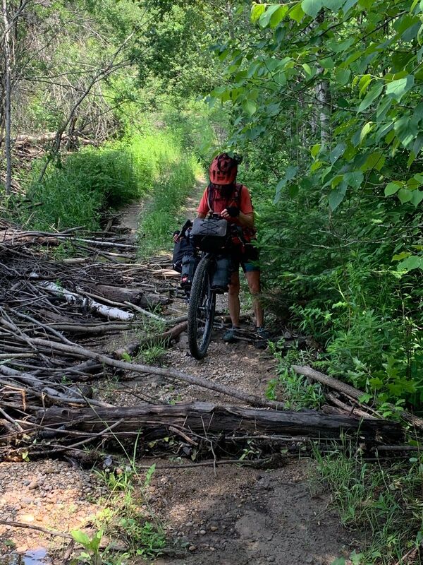
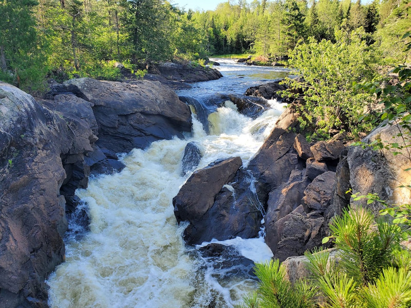
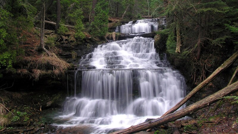
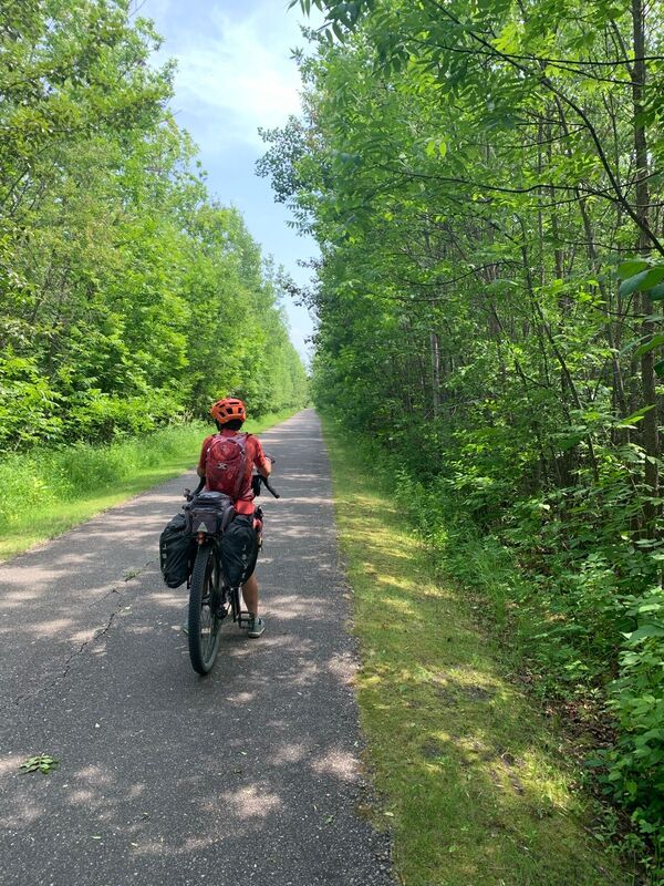
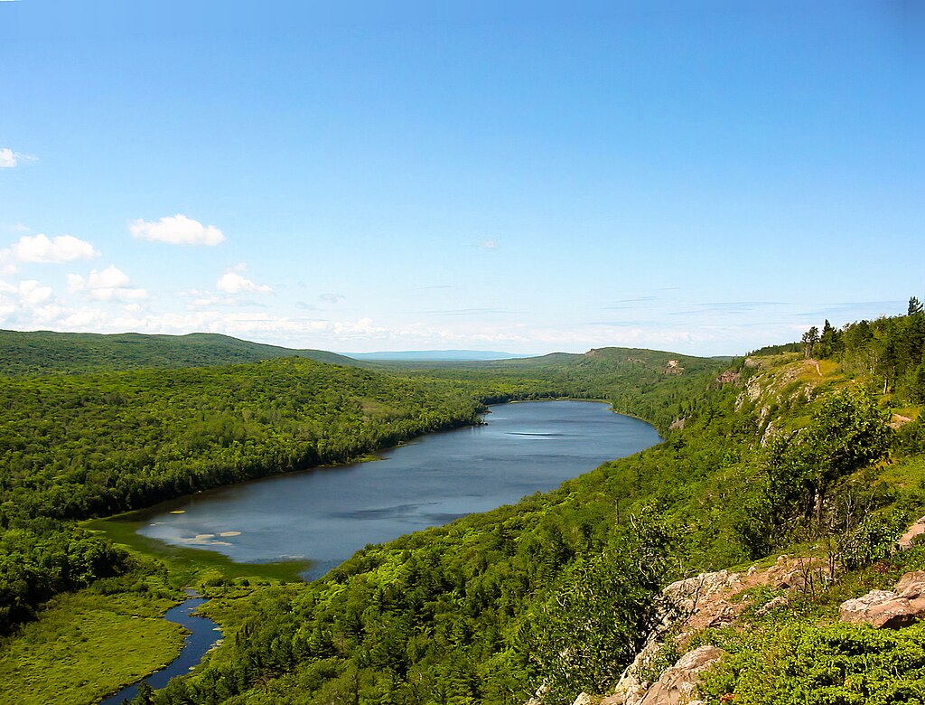
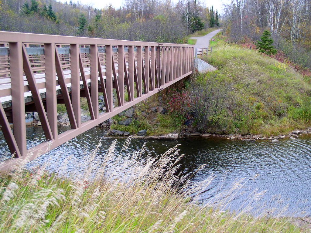
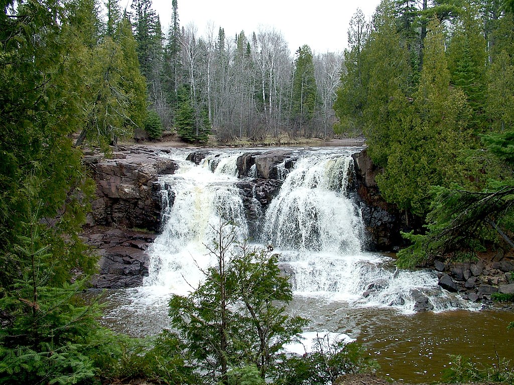
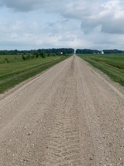
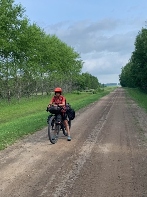
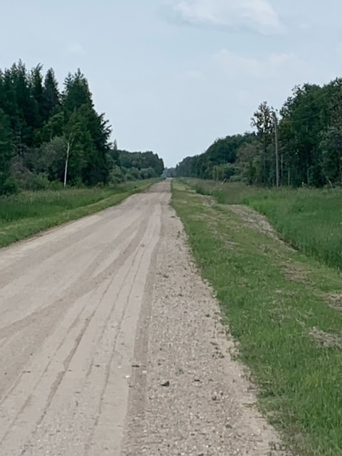
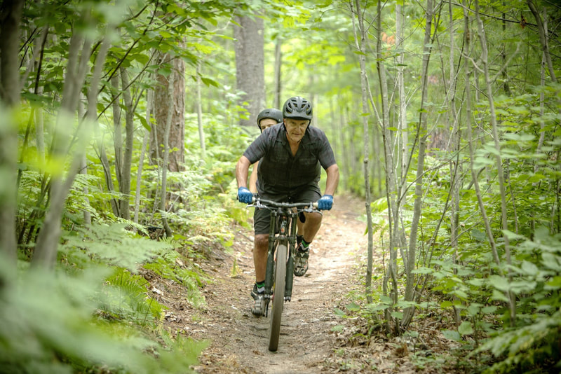
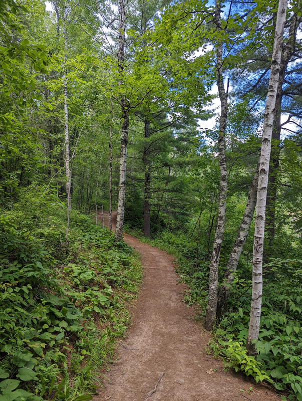
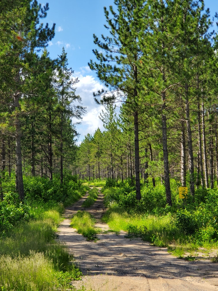
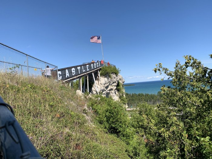
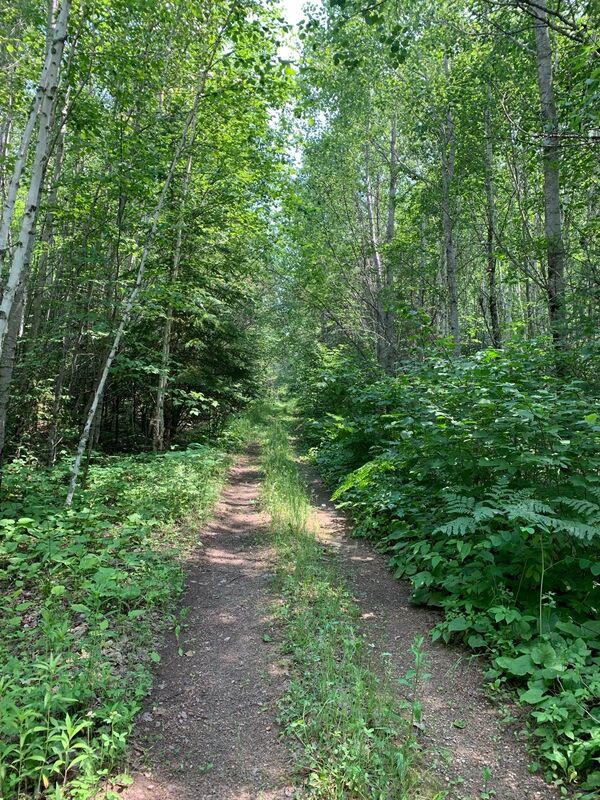
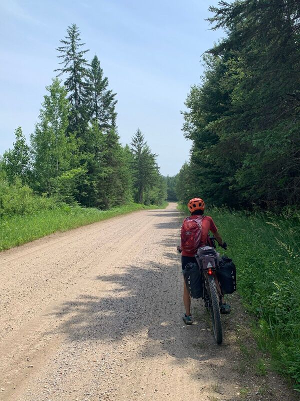
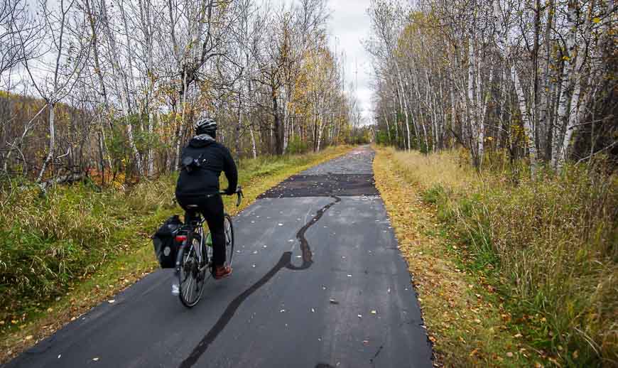
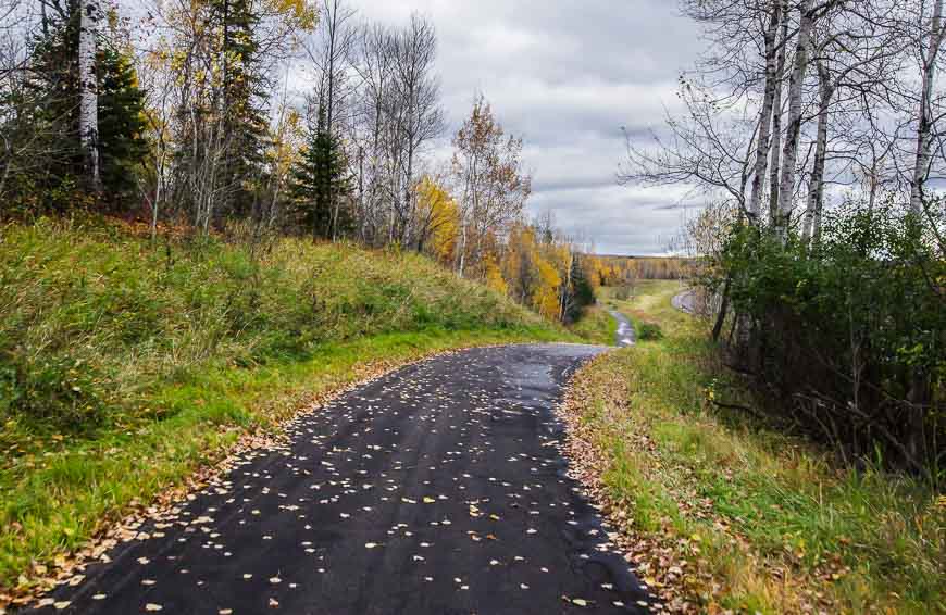
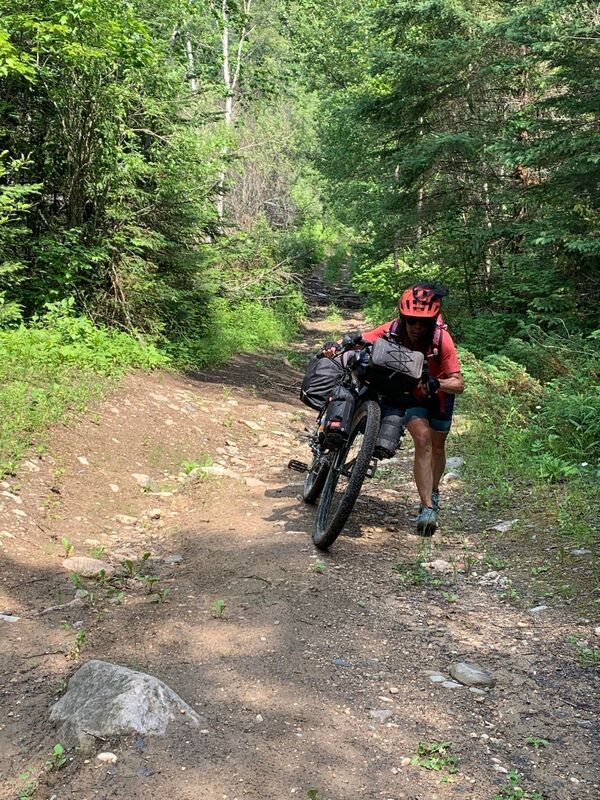
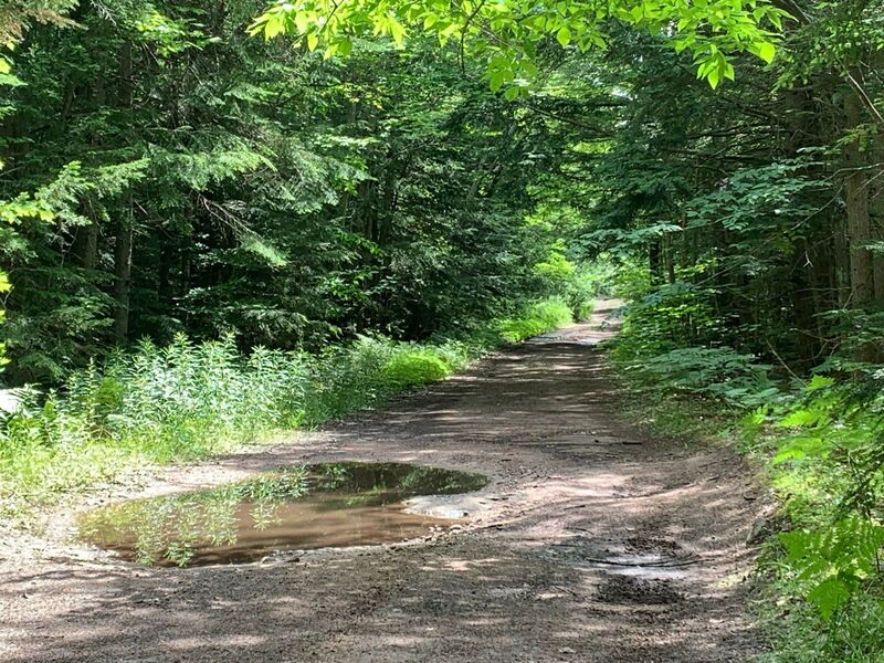
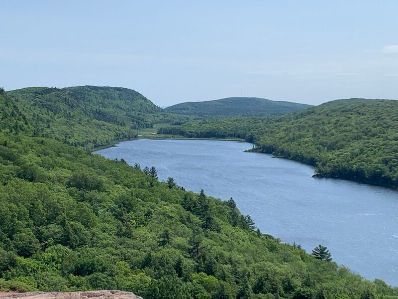
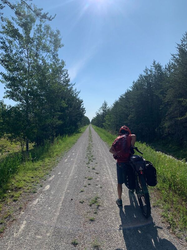
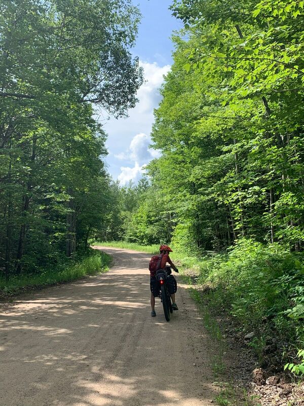
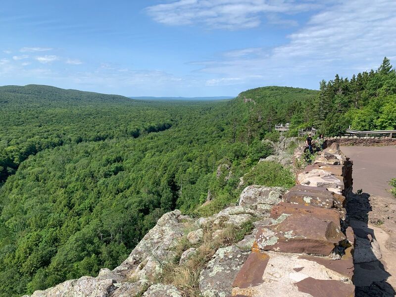
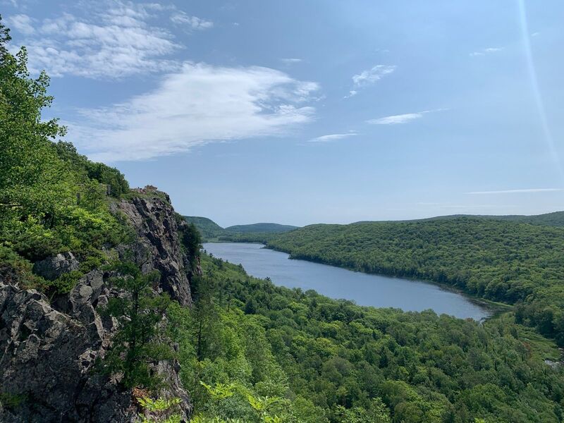
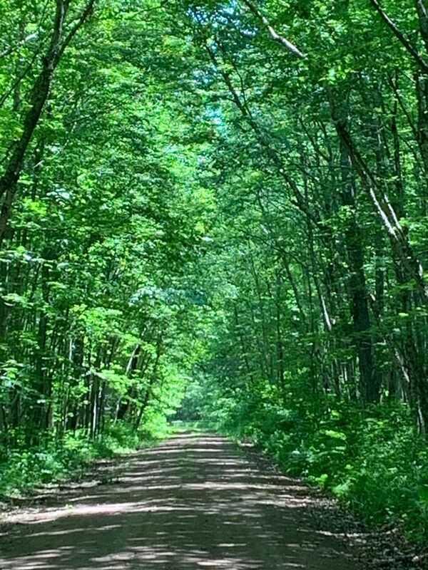
Primarily following gravel roads, two-tracks, logging roads, singletrack, rail trails and sections of pavement, the U.S. portion of the GNBR offers a vast variety in terrain that is the epitome of bikepacking. Expect deep forest riding, a panoply of picturesque lakes, amazing trail riding and welcoming communities in this lightly populated area. Big portions of the route travel through dense forests, with limited vistas, but the mixed nature of the forests, waterways and especially lakes all create interest. The challenges can be significant, but so too are the rewards.
Highlights include:
Need to Know
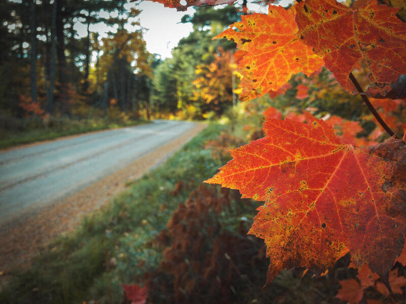
The route can be ridden between May and October. Fall promises some spectacular colours in the canopy. The hottest months are between June and August.
A significant portion of the route through these three states (beginning near the town of Finland in Minnesota) uses the Northwoods Route from Bikepacking Roots. It’s recommended to download their guide as an excellent resource for the route.
During the Minnesota portion of the ride, the route does pop back into Ontario for a short stretch of riding.
This is a rugged route and therefore requires the proper mindset for this type of ride and also the appropriate bike set-up.
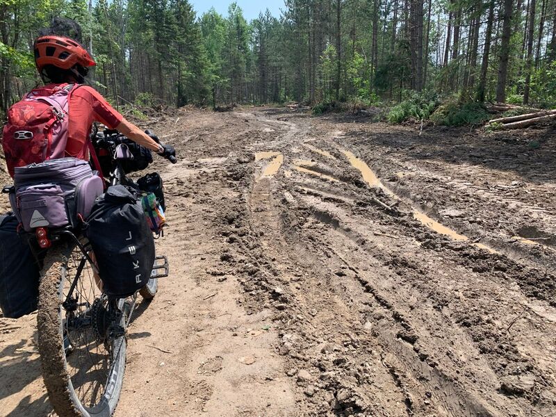
You’re going to see some burly, rocky, mean gravel and dirt. Fatter tires and generous gearing are what you want. Certainly, a touring mountain bike is appropriate here, but so too is an adventure drop-bar gravel bike.
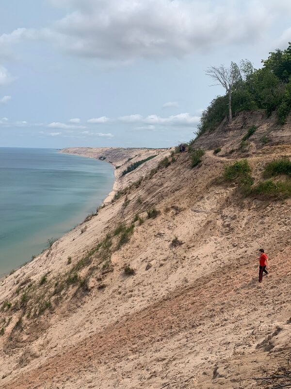
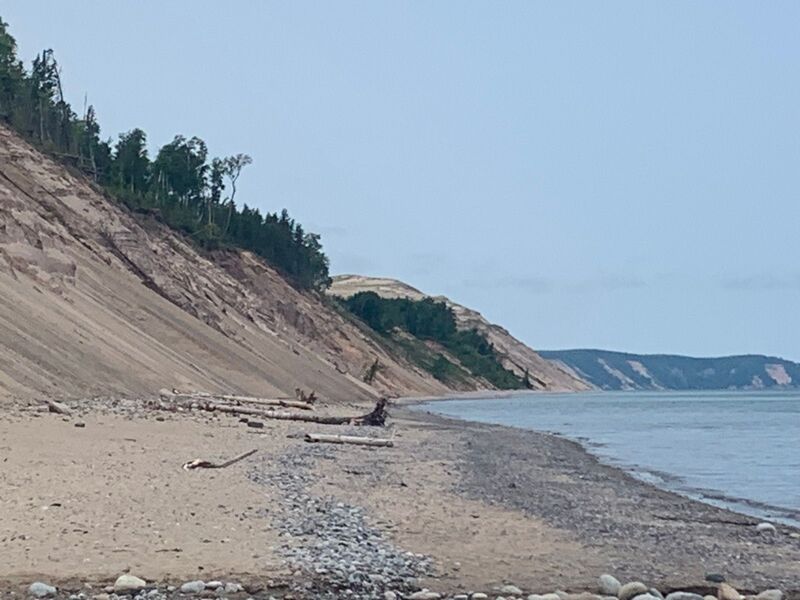
Some sections, particularly in Michigan, can be sandy. More so during dry conditions. At times, it may be necessary to find alternative routing.
There are several route alternatives provided using the Control point of interest symbol. These can provide an easier riding option or a more adventurous one.
Bugs can certainly be a nuance, especially in the months of June and July.
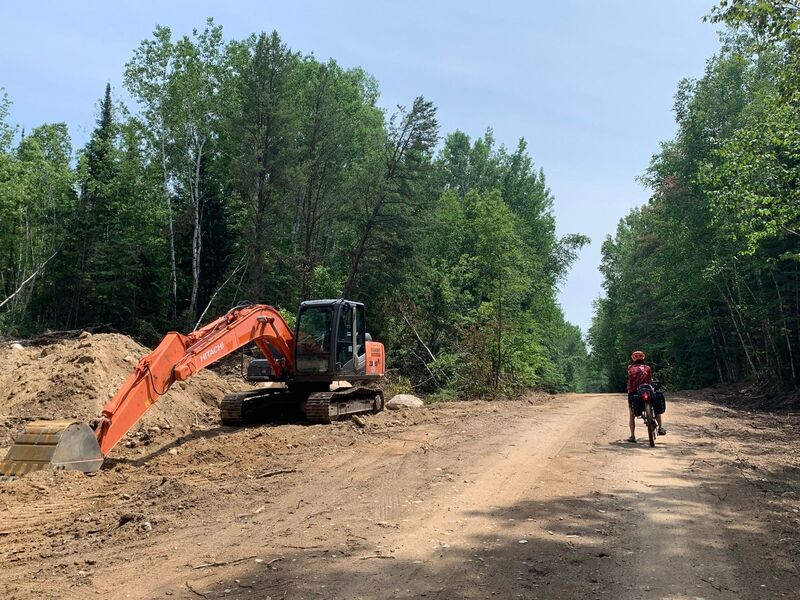
The official GPX route from Ride with GPS is very helpful, but riders do need to be prepared to navigate around closures or other obstacles.
For the most part, services are available at regular intervals. But there are a few times when riders need to be self-sufficient for a large amount of miles.
There is a significant black bear population on this route. So you need to be bear smart such as not camping with any food in your tent.
At times, cell service is highly questionable and not to be relied on. Riders should carry some sort of emergency satellite tracking device.
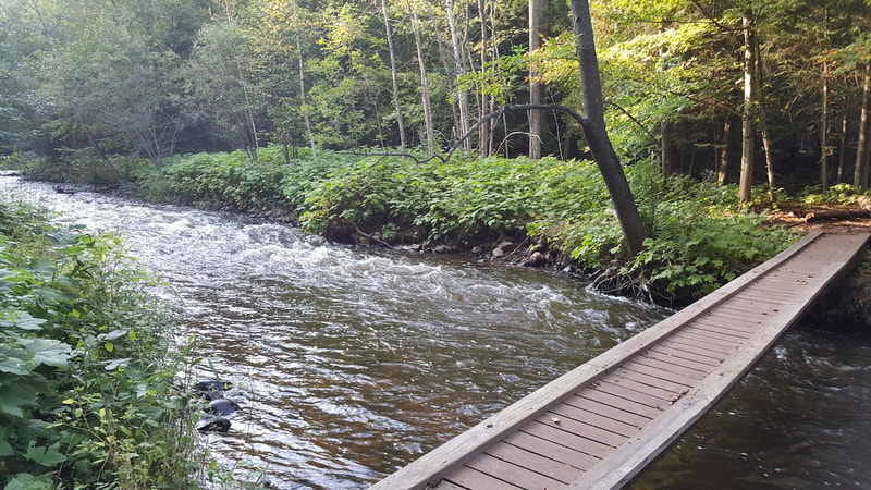
Consider a water filter as an essential piece of gear. For the most part, this route has plenty of opportunities to filter water from streams and lakes.
If you have any questions about this segment of the GNBR please contact us.
Highlights include:
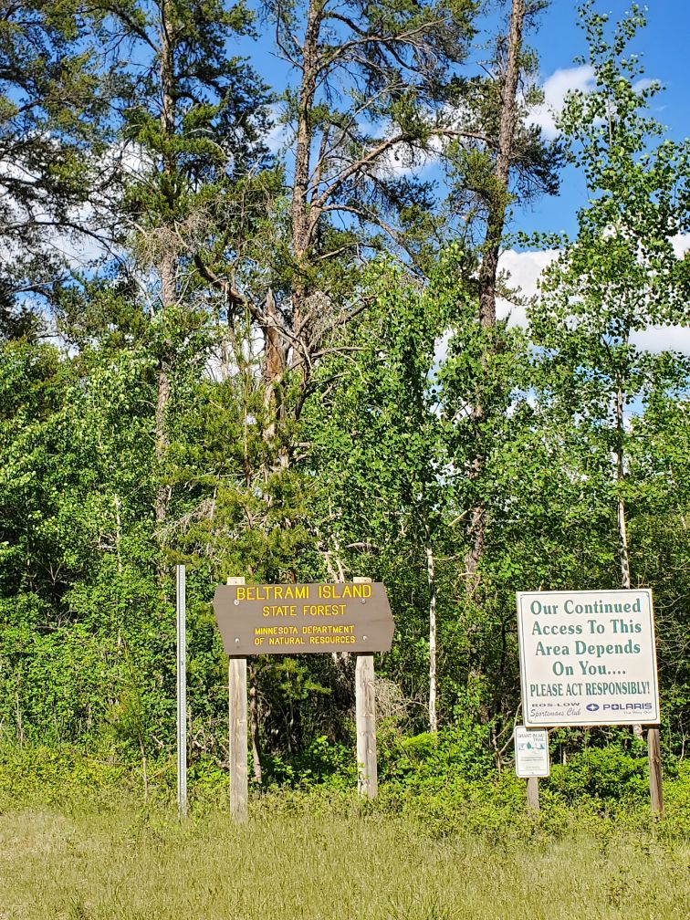
- Dirt road riding through Beltrami Island, Koochiching, Kabetogama, Superior and other state forests.
- Riding to lakes galore in Minnesota, which also offers some picturesque camping opportunities
- Taking in the excellent paved Mesabi and Gitchi-Gami trails in Minnesota
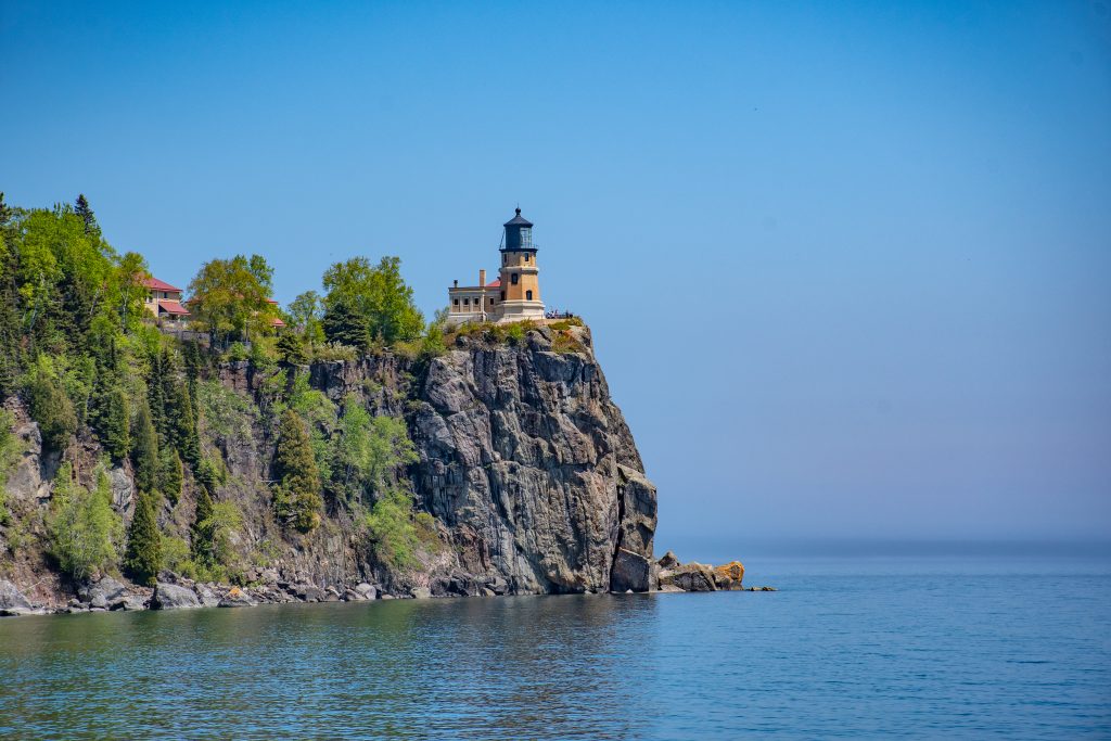
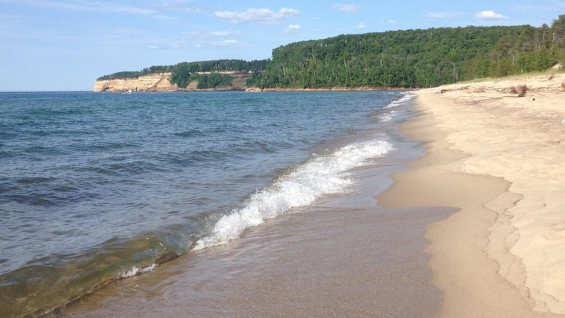
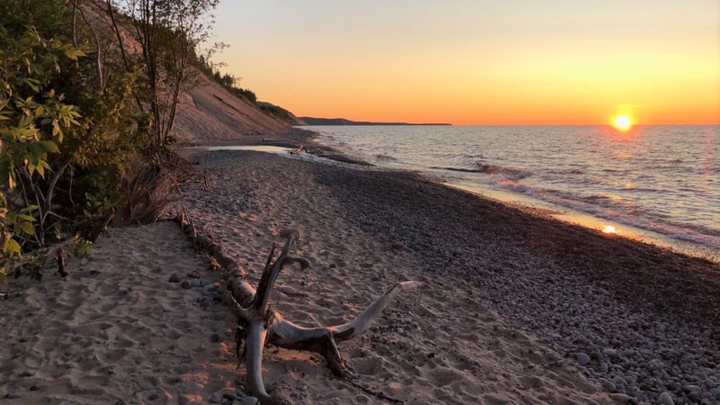
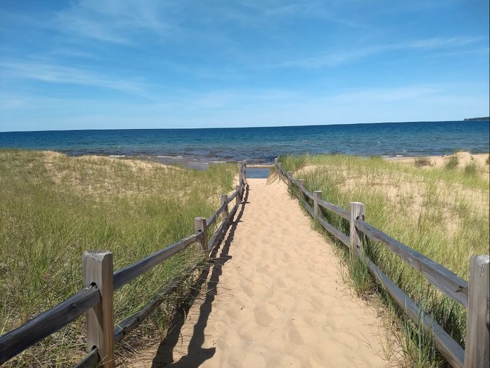
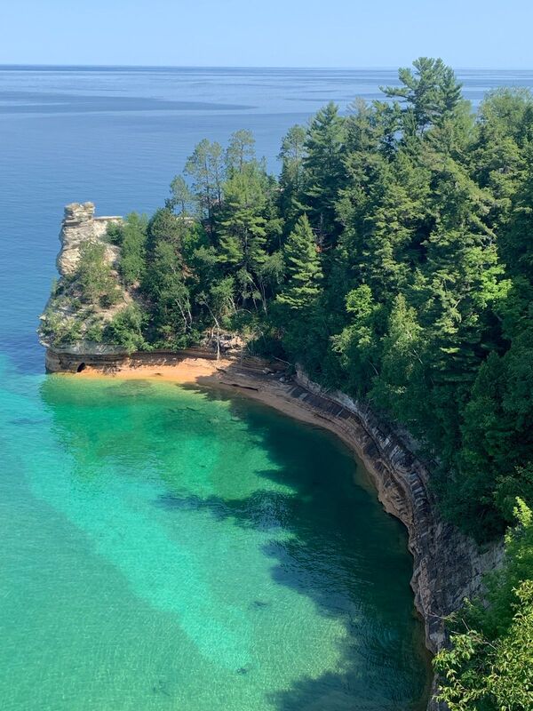
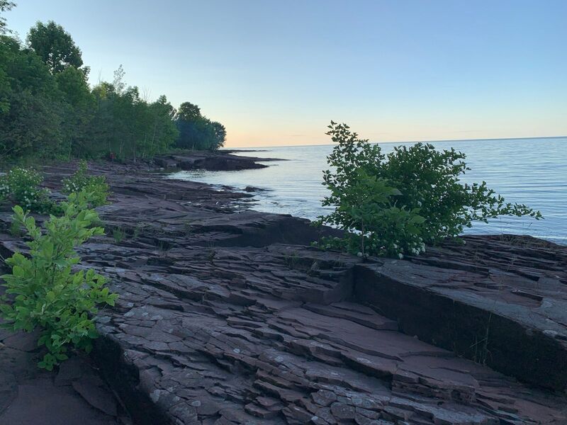
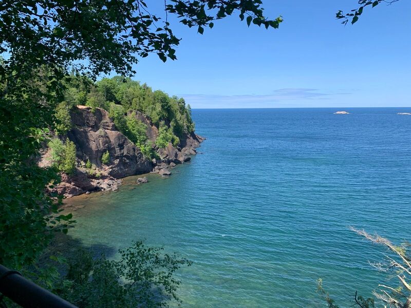
- Views of Lake Superior – the largest freshwater lake in the world
- Cruising on the Duluth Traverse – a 50km flow trail system that threads along the entire city of Duluth. https://backcountry-mtb.com/routes/duluth-traverse/
- A big sampling of the world-class trail system in Marquette.
Need to Know
The route can be ridden between May and October. Fall promises some spectacular colours in the canopy. The hottest months are between June and August.
A significant portion of the route through these three states (beginning near the town of Finland in Minnesota) uses the Northwoods Route from Bikepacking Roots. It’s recommended to download their guide as an excellent resource for the route.
During the Minnesota portion of the ride, the route does pop back into Ontario for a short stretch of riding.
This is a rugged route and therefore requires the proper mindset for this type of ride and also the appropriate bike set-up.
You’re going to see some burly, rocky, mean gravel and dirt. Fatter tires and generous gearing are what you want. Certainly, a touring mountain bike is appropriate here, but so too is an adventure drop-bar gravel bike.
Some sections, particularly in Michigan, can be sandy. More so during dry conditions. At times, it may be necessary to find alternative routing.
There are several route alternatives provided using the Control point of interest symbol. These can provide an easier riding option or a more adventurous one.
Bugs can certainly be a nuance, especially in the months of June and July.
The official GPX route from Ride with GPS is very helpful, but riders do need to be prepared to navigate around closures or other obstacles.
For the most part, services are available at regular intervals. But there are a few times when riders need to be self-sufficient for a large amount of miles.
There is a significant black bear population on this route. So you need to be bear smart such as not camping with any food in your tent.
At times, cell service is highly questionable and not to be relied on. Riders should carry some sort of emergency satellite tracking device.
Consider a water filter as an essential piece of gear. For the most part, this route has plenty of opportunities to filter water from streams and lakes.
If you have any questions about this segment of the GNBR please contact us.
